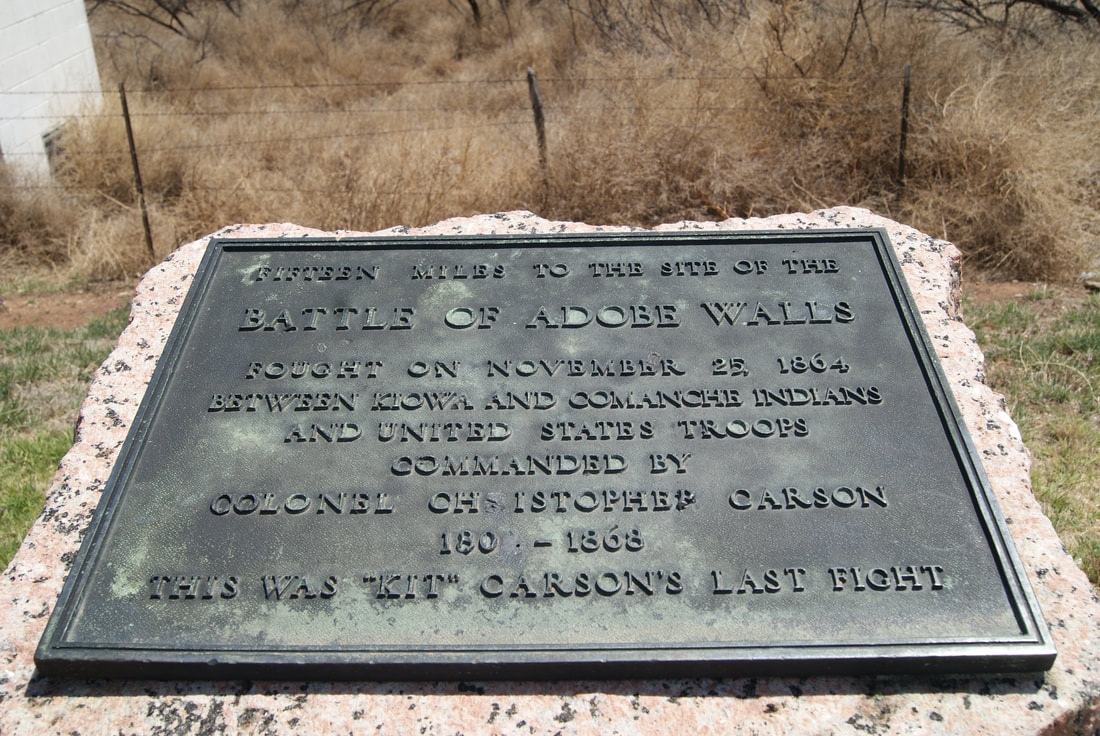
• Alfred M. Hallmark
  • First Baptist Church of Zephyr
  • Military Road
  • Belle Plaine Cemetery
  • Community of Fodice
  • Providence Church and Cemetery
  • Packsaddle Mountain
  • No. 59 Old San Antonio Road
  • Anderson County in the Civil War
  • Smithfield Baptist Church
  • Phair Cemetery
  • New Page
  • New Page
  • New Page
TEXAS HISTORICAL MARKERS

Fifteen Miles to the Site of the
​ Battle of Adobe Walls

​H
U
T
C
H
I
​N

S
O
N

C
O
U
N
T
​Y
Picture
Marker Text:  fought here November 25, 1864, when Colonel Christopher (Kit) Carson (1809-1868) with a few companies of United States troops under the protection of the Adobe Walls attacked a band of hostile Kiowa and Comanche Indians and killed over 60 braves. This was "Kit" Carson's last fight. (1936)
Marker No: 320
Pink Granite 1936 Centennial Marker
National Register of Historic Places
Geographic: 35.744118, -101.417671
Location: ​from Borger take SH 136 north about 6 miles
Proudly powered by Weebly
  • Alfred M. Hallmark
  • First Baptist Church of Zephyr
  • Military Road
  • Belle Plaine Cemetery
  • Community of Fodice
  • Providence Church and Cemetery
  • Packsaddle Mountain
  • No. 59 Old San Antonio Road
  • Anderson County in the Civil War
  • Smithfield Baptist Church
  • Phair Cemetery
  • New Page
  • New Page
  • New Page