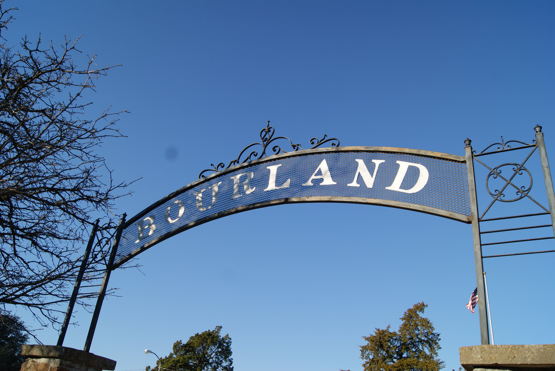
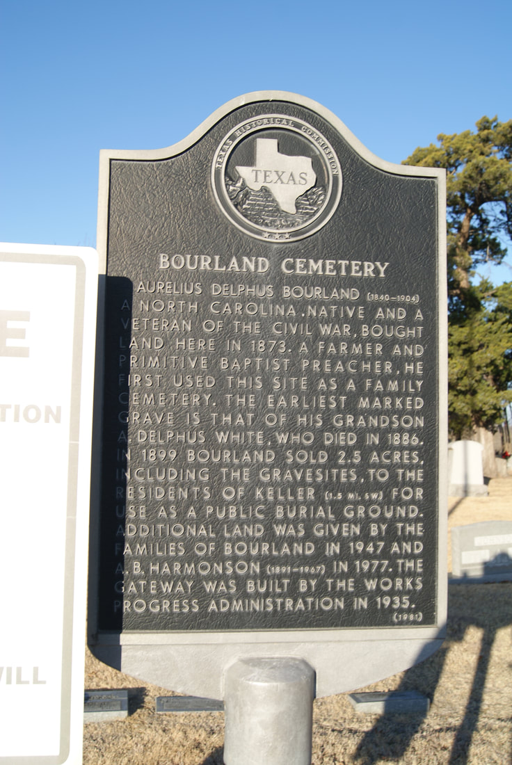
Bourland Cemetery
|
T
A R R A N T C O U N T Y |
|
Marker Text: Aurelius Delphus Bourland (1840-1904), a North Carolina native and a veteran of the Civil War, bought land here in 1873. A farmer and Primitive Baptist preacher, he first used this site as a family cemetery. The earliest marked grave is that of his grandson A. Delphus White, who died in 1886. In 1899 Bourland sold 2.5 acres, including the grave sites, to the residents of Keller (1.5 mi SW) for use as a public burial ground. Additional land was given by the families of Bourland in 1947 and A.B. Harmonson (1891-1967) in 1977. The gateway was built by the Works Progress Administration in 1935. (1981)
Marker No: 470
Aluminum 18 x 28 Subject Marker
Geographic: 32.946667, -97.243195
Location: Bourland Road, Keller
|