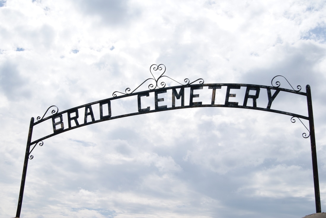
Brad Cemetery
|
P
A L O P I N T O C O U N T Y |
Location: 12 miles west of Palo Pinto on US 180
|
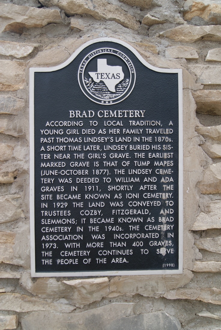
Marker Text: According to local tradition, a young girl died as her family traveled past Thomas Lindsey's land in the 1870s. A short time later, Lindsey buried his sister near the girl's grave. The earliest marked grave is that of Tump Mapes (June-October 1877). The Lindsey Cemetery was deeded to William and Ada Graves in 1911, shortly after the site became known as Ioni Cemetery. In 1929 the land was conveyed to trustees Cozby, Fitzgerald, and Slemmons; it became known as Brad Cemetery in the 1940s. The cemetery association was incorporated in 1973. With more than 400 graves, the cemetery continues to serve the people of the area. (1998)
Marker No: 12135
Aluminum 18 x 28 Subject Marker
Geographic: 32.73251,-98.46851
|