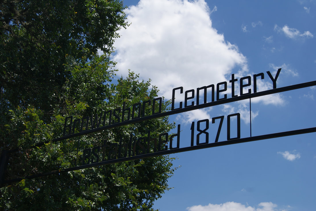
Brownsboro Cemetery
|
K
E N D A L L C O U N T Y |
Marker No: 14411
Texas Historical Cemetery Marker
Geographic: 29.9731007, -98.8285980
Location: River Bend Road off Highway from Comfort to Sisterdale near old railroad bridge, Comfort
|
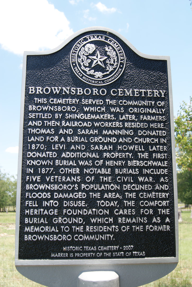
Marker Text: This cemetery served the community of Brownsboro, which was originally settled by shinglemakers. Later, farmers and then railroad workers resided here. Thomas and Sarah Manning donated land for a burial ground and church in 1870; Levi and Sarah Howell later donated additional property. The first known burial was of Henry Bierschwale in 1877. Other notable burials include five veterans of the Civil War. As Brownsboro's population declined and floods damaged the area, the cemetery fell into disuse. Today, the Comfort Heritage Foundation cares for the burial ground, which remains as a memorial to the residents of the former Brownsboro community. (2007)
|