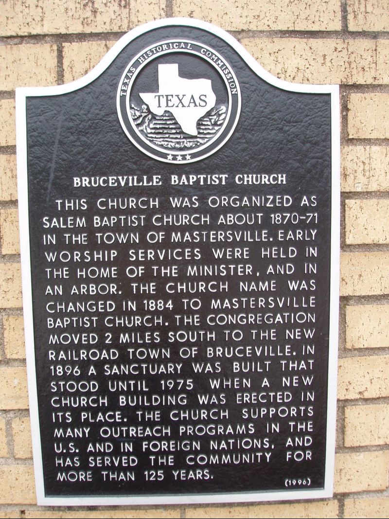
Bruceville Baptist Church
|
M
C L E N N A N C O U N T Y |
Geographic: 31.319923, -97.237785
Location: Benton & Plum Street, Bruceville
|
Marker Text: This church was organized as Salem Baptist Church about 1870-71 in the town of Mastersville. Early worship services were held in the home of the minister, and in an arbor. The church name was changed in 1884 to Mastersville Baptist Church. The congregation moved 2 miles south to the new railroad town of Bruceville. In 1896 a sanctuary was built that stood until 1975 when a new church building was erected in its place. The church supports many outreach programs in the U.S. and in foreign nations, and has served the community for more than 125 years. (1996)
Marker No:
Aluminum 18 x 28 Subject Marker
|