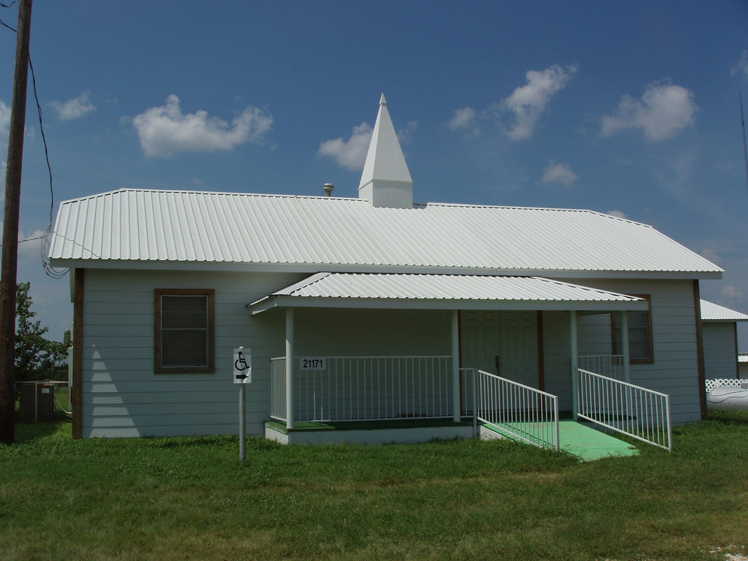
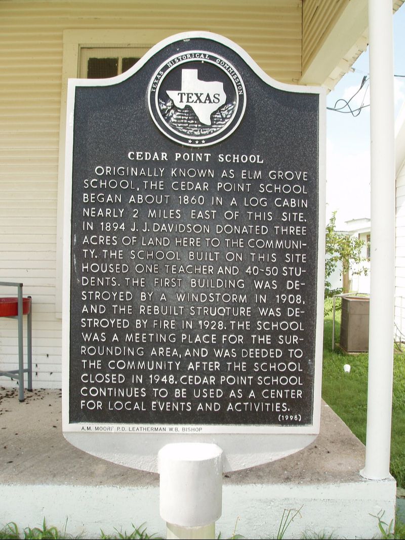
Cedar Point School
|
E
R A T H C O U N T Y |
Marker No: 773
Aluminum 18 x 28 Subject Marker
Geographic: 32.262138,-98.030243
|
Marker Text: Originally known as Elm Grove School, the Cedar Point School began about 1860 in a log cabin nearly 2 miles east of this site. In 1894 J. J. Davidson donated three acres of land here to the community. The school built on this site housed one teacher and 40-50 students. The first building was destroyed by a windstorm in 1908, and the rebuilt structure was destroyed by fire in 1928. The school was a meeting place for the surrounding area, and was deeded to the community after the school closed in 1948. Cedar Point School continues to be used as a center for local events and activities. (1996)
Location: From Stephenville, take FM 205 east about 10 miles to junction with FM 2481.
|