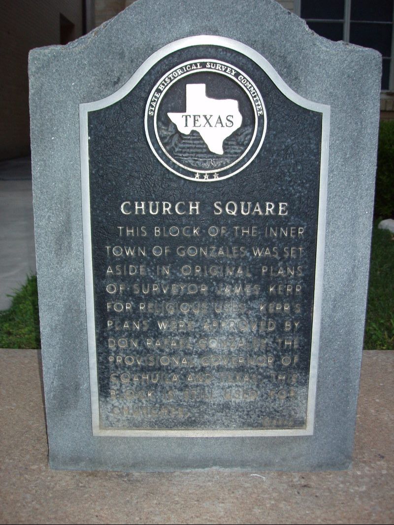
• Alfred M. Hallmark
  • First Baptist Church of Zephyr
  • Military Road
  • Belle Plaine Cemetery
  • Community of Fodice
  • Providence Church and Cemetery
  • Packsaddle Mountain
  • No. 59 Old San Antonio Road
  • Anderson County in the Civil War
  • Smithfield Baptist Church
  • Phair Cemetery
  • New Page
  • New Page
  • New Page
TEXAS HISTORICAL MARKERS

​Church Square

​G
O
N
Z
A
L
E
S

C
O
U
N
T
​Y
Picture
Marker No: 853
Marker Text: ​This block of the inner town of Gonzales was set aside in original plans of surveyor James Kerr for religious uses. Kerr's plans were approved by Don Rafael Gonzales the provisional governor of Coahuila and Texas. This block is still used for churches. (1966)
Aluminum 14 x 24 Subject Marker
Geographic: 29.501802,-97.452087
Location: ​St. Paul Street, Gonzales
Proudly powered by Weebly
  • Alfred M. Hallmark
  • First Baptist Church of Zephyr
  • Military Road
  • Belle Plaine Cemetery
  • Community of Fodice
  • Providence Church and Cemetery
  • Packsaddle Mountain
  • No. 59 Old San Antonio Road
  • Anderson County in the Civil War
  • Smithfield Baptist Church
  • Phair Cemetery
  • New Page
  • New Page
  • New Page