City of Junction
|
K
I M B L E C O U N T Y |
Geographic: 30.489874,-99.768036
Aluminum 18 x 28 Subject Marker
|
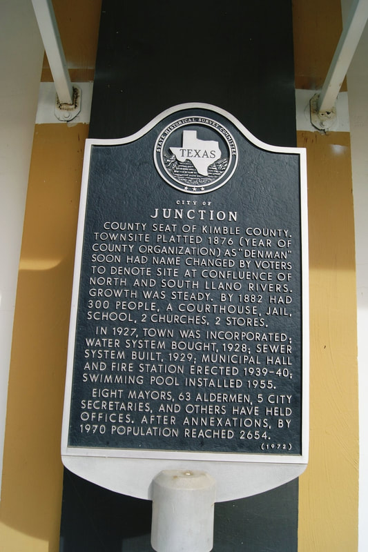
Marker Text: County seat of Kimble County. Townsite platted 1876 (year of county organization) as "Denman." Soon had name changed by voters to denote site at confluence of North and South Llano Rivers. Growth was steady. By 1882 had 300 people, a courthouse, jail, school, 2 churches, 2 stores.
n 1927, town was incorporated; water system bought, 1929; sewer system built, 1929; Municipal Hall and Fire Station erected 1939-40; swimming pool installed 1955. Eight mayors, 63 alderman, 5 city secretaries, and others have held offices. After annexations, by 1970 population reached 2654. (1972) Marker No: 611
Location: corner of 5th and College Streets, Junction
|