City of
San Benito
|
C
A M E R O N C O U N T Y |
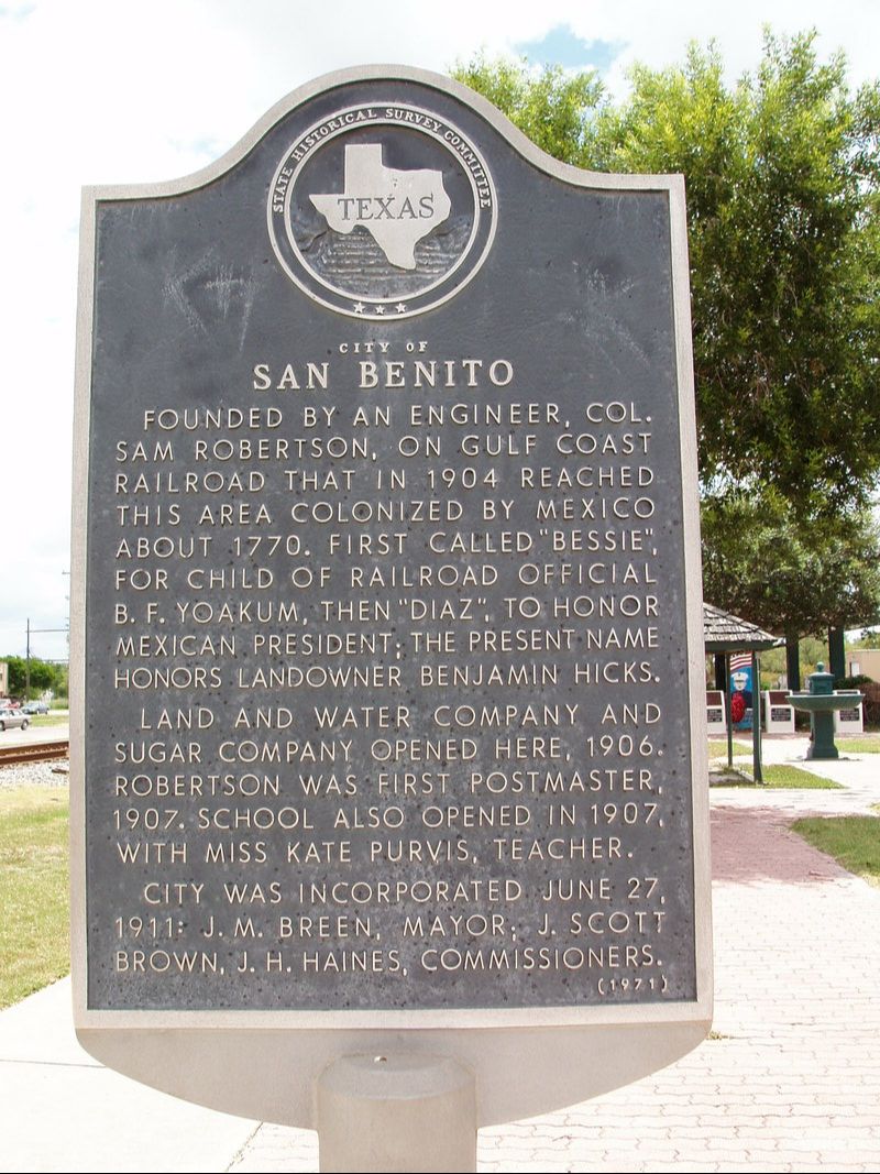
Marker No: 892
Aluminum 18 x 28 Subject Marker
Geographic: 26.131733, -97.631783
|
Marker Text: Founded by an engineer, Col. Sam Robertson, on Gulf Coast Railroad that in 1904 reached this area colonized by Mexico about 1770. First called "Bessie", for child of railroad official B.F. Yoakum, then "Diaz", to honor Mexican president; present name honors landowner Benjamin Hicks.
Land and water company and sugar company opened here, 1906. Robertson was first Postmaster, 1907. School also opened in 1907, with Miss Kate Purvis, teacher. City was incorporated June 27, 1911: J.M. Breen, Mayor; J. Scott Brown, J.H. Haines, Commissioners. (1971) Location: Sam Houston Park, at Railroad Crossing, San Benito
|