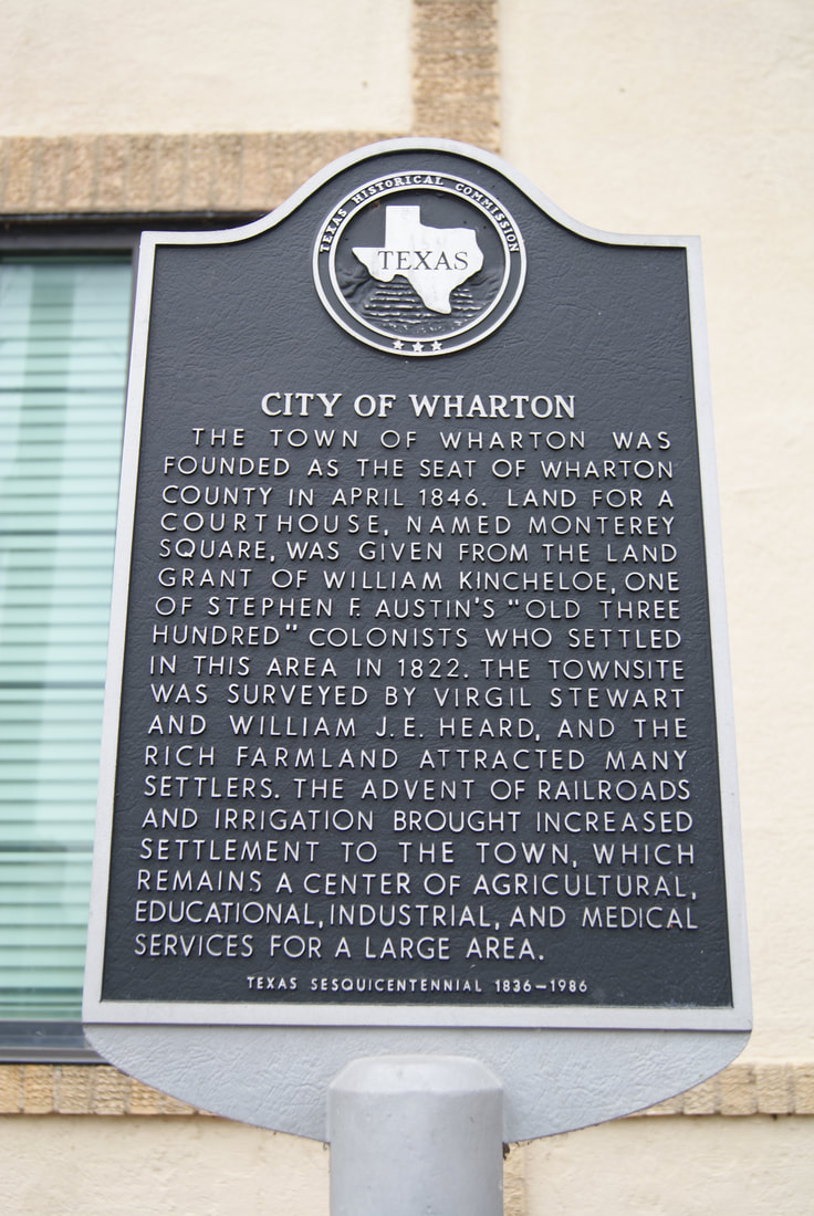
City of Wharton
|
W
H A R T O N C O U N T Y |
Marker No: 894
Aluminum 18 x 28 Subject Marker
|
Marker Text: The town of Wharton was founded as the seat of Wharton County in April 1846. Land for a courthouse, named Monterey Square, was given from the land grant of William Kincheloe, one of Stephen F. Austin's "Old Three Hundred" colonists who settled in this area in 1822. The townsite was surveyed by Virgel Stewart and William J. E. Heard, and the rich farmland attracted many settlers. The advent of railroads and irrigation brought increased settlement to the town, which remains a center of agricultural, educational, industrial, and medical services for a large area.(1986)
Geographic: 29.309879, -96.100563
Location: 101 W.est Burleson, Wharton
|