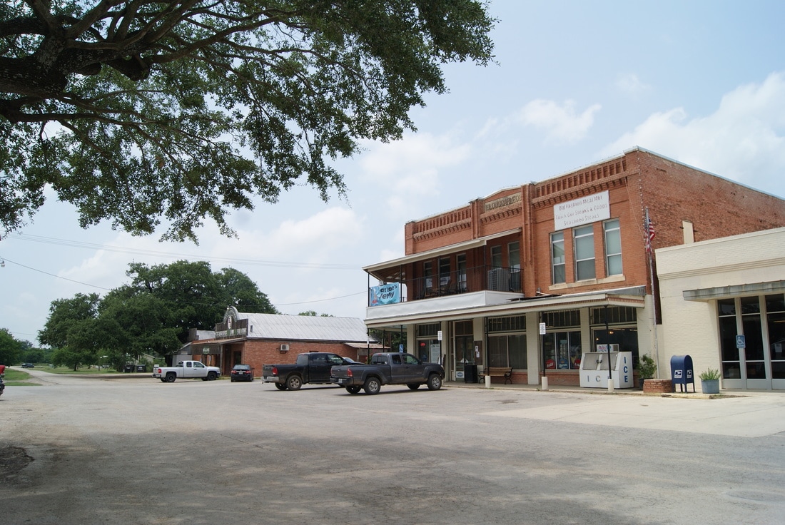
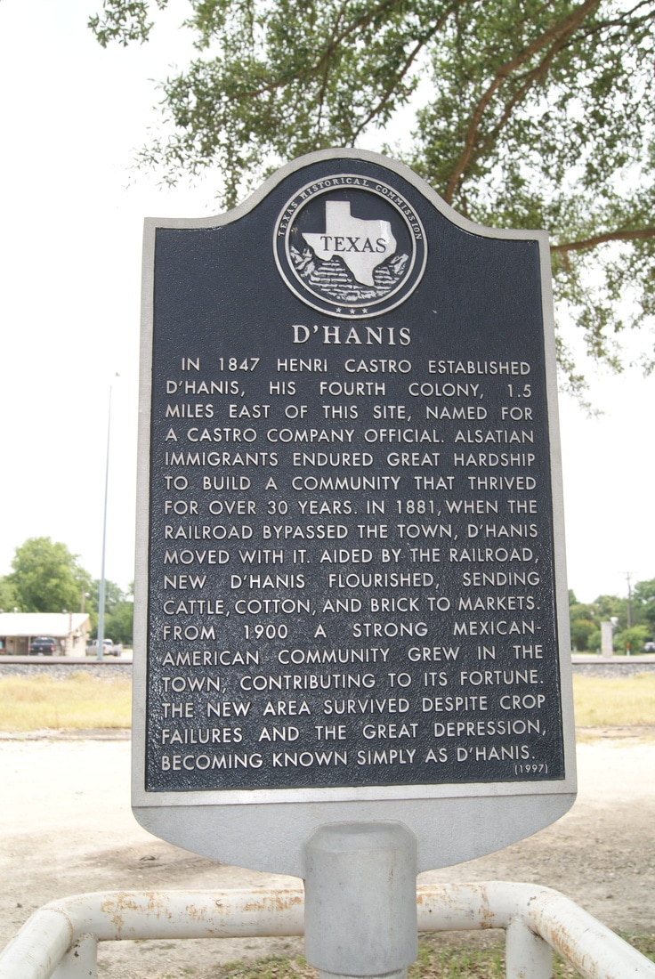
• Alfred M. Hallmark
  • First Baptist Church of Zephyr
  • Military Road
  • Belle Plaine Cemetery
  • Community of Fodice
  • Providence Church and Cemetery
  • Packsaddle Mountain
  • No. 59 Old San Antonio Road
  • Anderson County in the Civil War
  • Smithfield Baptist Church
  • Phair Cemetery
  • New Page
  • New Page
  • New Page
TEXAS HISTORICAL MARKERS

​D'Hanis 

M
E
D
I
N
A

C
O
U
N
T
​Y
Picture
Marker No: 12143
Aluminum 18 x 28 Subject Marker
Geographic: 29° 19.857′ N, 99° 16.835′ W
National Register of Historic Places
Marker Text: ​In 1847 Henri Castro established D'Hanis, his fourth colony, 1.5 miles east of this site, named for a Castro Company official. Alsatian immigrants endured great hardship to build a community that thrived for over 30 years. In 1881, when the railroad bypassed the town, D'Hanis moved with it. Aided by the railroad, new D'Hanis flourished, sending cattle, cotton, and brick to markets. From 1900 a strong Mexican-American community grew in the town, contributing to its fortune. The new area survived despite crop failures and the Great Depression, becoming known simply as D'Hanis. (1997)
Location: Front Street between Sacarosa Avenue and Lindsay Avenue, D'Hanis
Picture
Proudly powered by Weebly
  • Alfred M. Hallmark
  • First Baptist Church of Zephyr
  • Military Road
  • Belle Plaine Cemetery
  • Community of Fodice
  • Providence Church and Cemetery
  • Packsaddle Mountain
  • No. 59 Old San Antonio Road
  • Anderson County in the Civil War
  • Smithfield Baptist Church
  • Phair Cemetery
  • New Page
  • New Page
  • New Page