Dobyville Cemetery
|
B
U R N E T C O U N T Y |
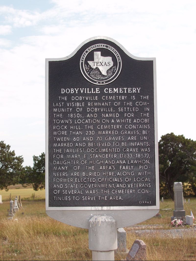
Marker No: 13343
Aluminum 18 x 28 Subject Marker
Geographic: 30.930567, -98.239319
Location: 12 miles north of Burnet on US 281, 0.2 mile west on CR 103
|
Marker Text: The Dobyville Cemetery is the last visible remnant of the community of Dobyville. Settled in the 1850s, and named for the town's location on a white adobe rock hill. The cemetery contains more than 230 marked graves, between 60 and 70 graves are unmarked and believed to be infants. The earliest documented grave was for Mary E. Standefer (1833-1857) daughter of Hugh and Ana Lawthon. Many of the area's early pioneers are buried here. Along with former elected officials of local and state governments, and veterans of several wars. The cemetery continues to serve the area. (1996)
|