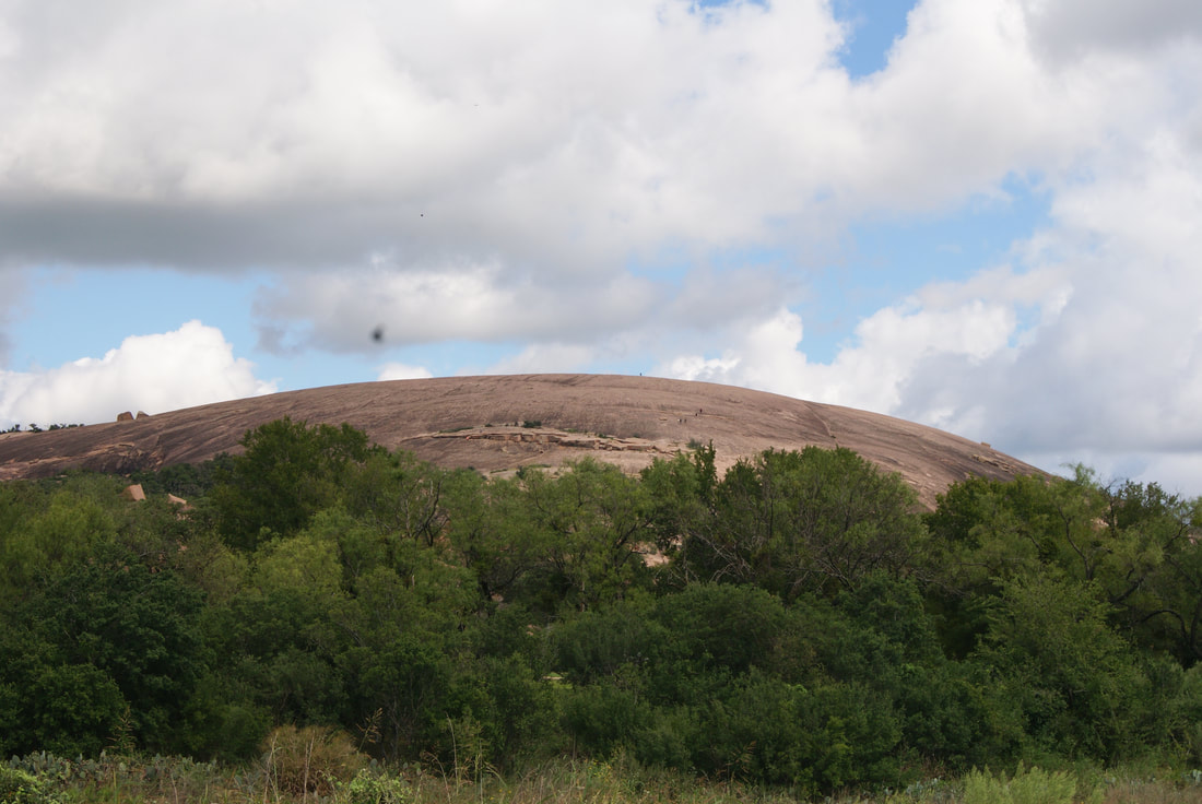
• Alfred M. Hallmark
  • First Baptist Church of Zephyr
  • Military Road
  • Belle Plaine Cemetery
  • Community of Fodice
  • Providence Church and Cemetery
  • Packsaddle Mountain
  • No. 59 Old San Antonio Road
  • Anderson County in the Civil War
  • Smithfield Baptist Church
  • Phair Cemetery
  • New Page
  • New Page
  • New Page
TEXAS HISTORICAL MARKERS

​Enchanted Rock 

G
I
L
L
E
S
P
I
E

C
O
U
N
T
​Y/
L
L
A
N
O

C
O
U
N
T
​Y


​
Picture
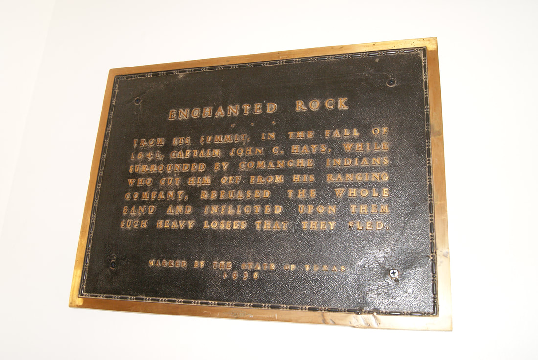
Marker Text: From its summit, in the fall of 1841, Captain John C. Hays, while surrounded by Comanche Indians who cut him off from his ranging company, repulsed the whole band and inflicted upon them such heavy losses that they fled. (1936) 
Marker No: 10035
1936 Centennial Brass Plaque Marker 
National Register of Historic Places
Geographic: 30.497108, -98.819107
Location: ​at the gazebo at entrance to Nature Trail system in Enchanted Rock State Park; from Fredericksburg, take RR 965 north 20 miles
Picture
Proudly powered by Weebly
  • Alfred M. Hallmark
  • First Baptist Church of Zephyr
  • Military Road
  • Belle Plaine Cemetery
  • Community of Fodice
  • Providence Church and Cemetery
  • Packsaddle Mountain
  • No. 59 Old San Antonio Road
  • Anderson County in the Civil War
  • Smithfield Baptist Church
  • Phair Cemetery
  • New Page
  • New Page
  • New Page