• Texas Historical Markers
  • Greenbrier Cemetery
  • Wilson Chapel Methodist Church
  • Marian Anderson High School
  • Alfred M. Hallmark
  • Frank Mulder Gossett
  • No 57: Old San Antonio Road
  • Zephyr Cemetery
  • Zephyr Gospel Tabernacle
  • First Baptist Church of Zephyr
  • Military Road
  • Zephyr Presbyterian Church
  • Burkett Pecan Tree
  • Hittson Ranch
  • Callahan City Cemetery
  • Admiral Baptist Church
  • Belle Plaine Cemetery
  • Ross Cemetery
  • Callahan County
  • The Prew House
  • Brooke Smith
  • Minnie Fisher Cunningham
  • Ebenezer Baptist Church
  • Dodge
  • Site of Andrew Female College
  • Glendale Cemetery
  • Community of Fodice
  • Holy Rosary Catholic Parish
  • Pegleg Crossing on the San Saba
  • B. T. Brown House
  • German Methodist Church/First Fire Station
  • Providence Church and Cemetery
  • Packsaddle Mountain
  • Homesite of W. F. Heller, Pioneer Farmer
  • The Bosque-Larios Expedition
  • No. 60 Old San Antonio Road
  • No. 56 Old San Antonio Road
  • No. 59 Old San Antonio Road
  • Texas Central Railroad
  • Center City Community
  • Orla
  • Fairview Cemetery
  • Leon County Courthouse
  • Anderson County in the Civil War
  • Judge H.T. Brown
  • Washington County, C.S.A.
  • Leander
  • Oveta Culp Hobby and the Women's Army Corps
  • Jacob Haller House
  • James M. Holt
  • Washington-on-the Brazos
  • Donigan House
  • Fort Worth Stock Yards Entrance
  • Smithfield Baptist Church
  • Elite Cafe
  • Joseph Brooks Home
  • Phair Cemetery
  • Robert Justus Kleberg
  • New Page
  • New Page
  • New Page
TEXAS HISTORICAL MARKERS

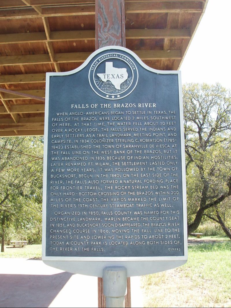
​Falls of the Brazos River

​F
A
L
L
S

C
O
U
N
T
Y
Picture
Marker No: 1563
Aluminum 27 x 42 Subject Marker
Geographic: 31° 14.948′ N, 96° 55.236′ W
Location: From Marlin, take FM 712 southwest about 5 miles to east bank of Brazos River in park.
Marker Text: ​When Anglo-Americans began to settle in Texas, the falls of the Brazos were located 7 miles southwest of here. At that time the water fell about 10 feet over a rocky ledge. The falls served the Indians and early settlers as a trail landmark, meeting point, and campsite. In 1834 colonizer Sterling C. Robertson (1785-1842) established the town of Sarahville de Viesca at the fall line on the west bank of the Brazos, but it was abandoned in 1836 because of Indian hostilities, later renamed Ft. Milam. The settlement lasted only a few more years. It was followed by the town of Bucksnort begun in the 1840s on the east side of the river. The falls also formed a natural fording place for frontier travel, the rocky stream bed was the only hard-bottom crossing of the Brazos within 200 miles of the coast. The rapids marked the limit of the rivers 19th century steamboat traffic as well.
           Organized in 1850,  Falls county was named for this distinctive landmark. Marlin became the county seat in 1851, and Bucksnort soon disappeared . The Brazos River changed course in 1866, moving the fall line to the present site and lowering the rapids to about 2 feet. Today a county park is located along both sides of the river at the falls. (1975)
Proudly powered by Weebly
  • Texas Historical Markers
  • Greenbrier Cemetery
  • Wilson Chapel Methodist Church
  • Marian Anderson High School
  • Alfred M. Hallmark
  • Frank Mulder Gossett
  • No 57: Old San Antonio Road
  • Zephyr Cemetery
  • Zephyr Gospel Tabernacle
  • First Baptist Church of Zephyr
  • Military Road
  • Zephyr Presbyterian Church
  • Burkett Pecan Tree
  • Hittson Ranch
  • Callahan City Cemetery
  • Admiral Baptist Church
  • Belle Plaine Cemetery
  • Ross Cemetery
  • Callahan County
  • The Prew House
  • Brooke Smith
  • Minnie Fisher Cunningham
  • Ebenezer Baptist Church
  • Dodge
  • Site of Andrew Female College
  • Glendale Cemetery
  • Community of Fodice
  • Holy Rosary Catholic Parish
  • Pegleg Crossing on the San Saba
  • B. T. Brown House
  • German Methodist Church/First Fire Station
  • Providence Church and Cemetery
  • Packsaddle Mountain
  • Homesite of W. F. Heller, Pioneer Farmer
  • The Bosque-Larios Expedition
  • No. 60 Old San Antonio Road
  • No. 56 Old San Antonio Road
  • No. 59 Old San Antonio Road
  • Texas Central Railroad
  • Center City Community
  • Orla
  • Fairview Cemetery
  • Leon County Courthouse
  • Anderson County in the Civil War
  • Judge H.T. Brown
  • Washington County, C.S.A.
  • Leander
  • Oveta Culp Hobby and the Women's Army Corps
  • Jacob Haller House
  • James M. Holt
  • Washington-on-the Brazos
  • Donigan House
  • Fort Worth Stock Yards Entrance
  • Smithfield Baptist Church
  • Elite Cafe
  • Joseph Brooks Home
  • Phair Cemetery
  • Robert Justus Kleberg
  • New Page
  • New Page
  • New Page