Frio County
|
F
R I O C O U N T Y |
|
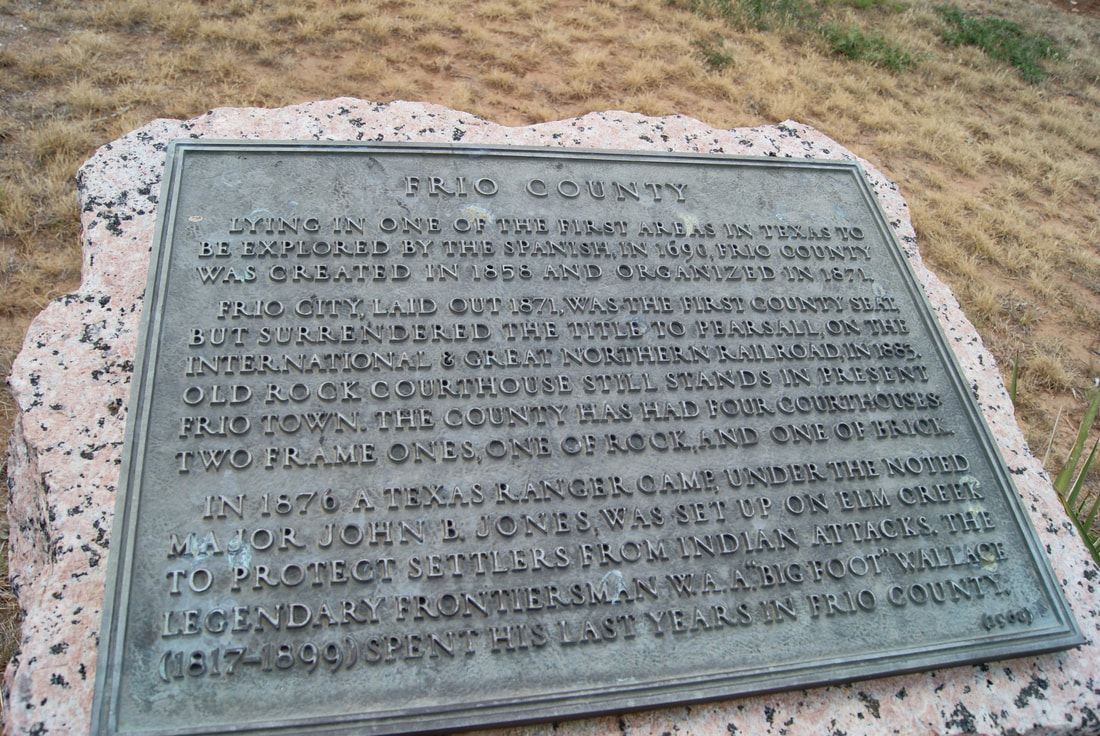
Marker Text: Lying in one of the first areas in Texas to be explored by the Spanish, in 1690, Frio County was created in 1858 and organized in 1871.
Frio City, laid out 1871, was the first county seat, but surrendered the title to Pearsall, on the International & Great Northern Railroad, in 1883. Old rock courthouse still stands in present Frio Town. The county has had four courthouses: two frame ones, one of rock, and one of brick.
In 1876 a Texas Ranger camp, under the noted Major John B. Jones, was set up on Elm Creek to protect settlers from Indian attacks. The legendary frontiersman W.A.A. "Big Foot" Wallace (1817-1899) spend his last years in Frio County. (1936) (1968)
Marker No: 1541
1936 Pink Granite Centennial County Marker
Geographic: 28° 56.01′ N, 99° 4.993′ W
Location: I-35 Business Loop, west side, north side of Pearsall, south of Exit 104.