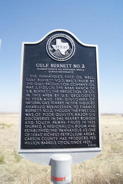
Gulf Burnett No. 2
(Carson County Oil Discovery Well)
(1 Mile Southeast)
|
C
A R S O N C O U N T Y |
Location: from Panhandle, take SH 207 about 18.8 mi. north to roadside marker
|
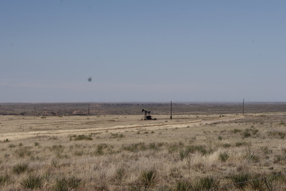
Marker Text: The Panhandle's first oil well, Gulf Burnett No. 2, was struck by the Gulf Production Company on May 2, 1921, on the 6666 Ranch of S. B. Burnett. The prediction of oil in this area by U.S. geologists in 1904 and the discovery of natural gas nearby in 1918 induced Amarillo businessmen to finance Burnett No. 2. Though the first oil was of poor quality, major oil discoveries in the nearby Borger and South Pampa fields in 1926 spurred a regional oil boom and established the Panhandle as one of Texas' richest petroleum areas. Carson County has produced 150 million barrels of oil since 1921. (1993)
Marker No: 2304
Aluminum 18 x 28 Subject Marker
Geographic: 35.603558, -101.406013
|