Houston Heights City Hall
and Fire Station
|
H
A R R I S C O U N T Y |
Marker No: 12807
Aluminum 18 x 28 Subject Marker
Texas Historic Landmark
National Register of Historic Places
Geographic: 29.792589, -95.398643
Location: 107 West 12th Street, Houston
|
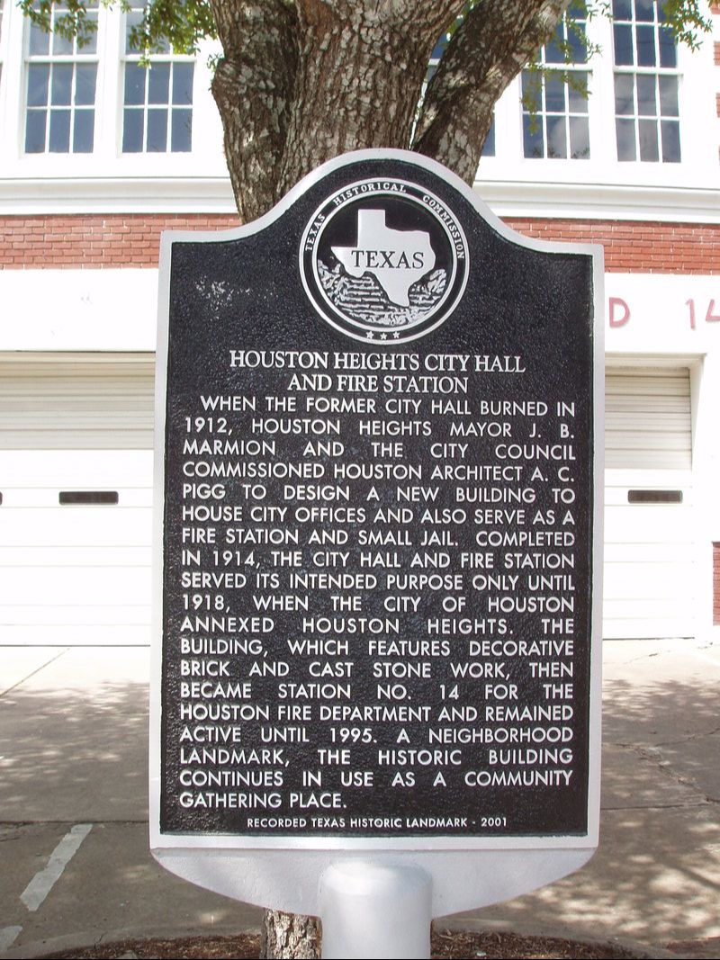
Marker Text: When the former city hall burned in 1912, Houston Heights Mayor J.B. Marmion and the city council commissioned Houston architect A.C. Pigg to design a new building to house city offices and also serve as a fire station and small jail. Completed in 1914, the city hall and fire station served its intended purpose only until 1918, when the city of Houston annexed Houston Heights. The building, which features decorative brick and cast stone work, then became station No. 14 for the active until 1995. A neighborhood landmark, the historic building continues in use as a community gathering place. (2001)
|