Johnson Fork Colony
|
K
I M B L E C O U N T Y |
Marker Text: One of the first settlements in Kimble County, founded early 1860's on land once owned by Samuel Maverick, famed pioneer Texas cattleman. Name of colony was taken from its site on the Johnson Fork of the Llano River.
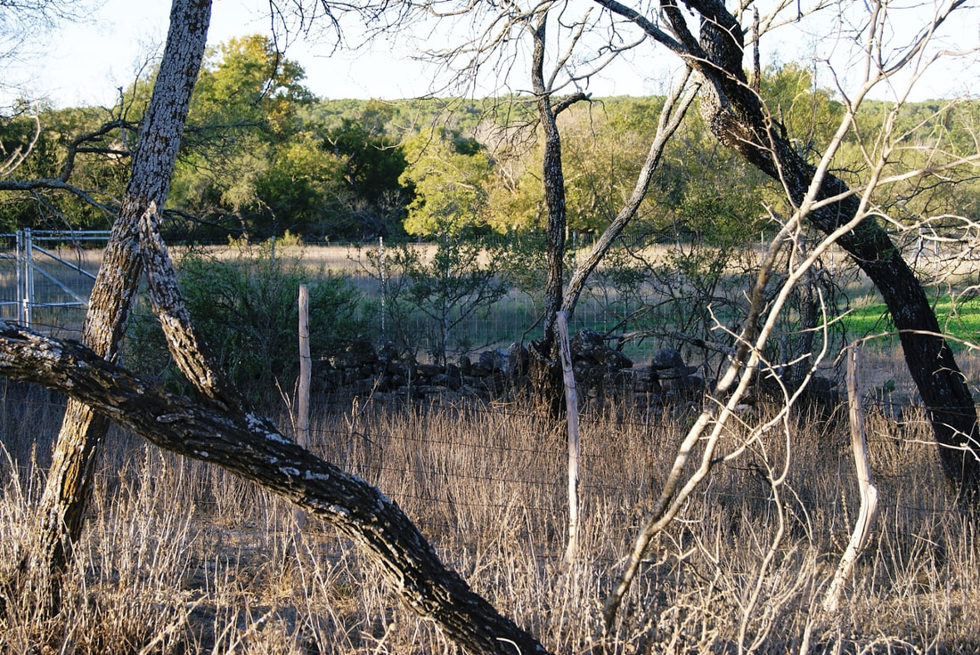
Settled by Wiley Joy Family, who built gravity irrigation system, rock fence, 2-room log house, traces of which still remain. By end of Civil War was home of 8 families, called the Joy Settlement; it became a watering place for troops and travelers; later a stage stop. (1967) Marker No: 2694
Aluminum 18 x 28 Subject Marker
Geographic: 30.361122,-99.633720
|
Location: from Junction, take I-10 E about 8 miles to exit 465 (Segovia), stay on access road until it becomes dirt, then 4.3 miles to marker