Junction School Campus
|
K
I M B L E C O U N T Y |
Marker No: 15910
Aluminum 18 x 28 Subject Marker
Geographic:
|
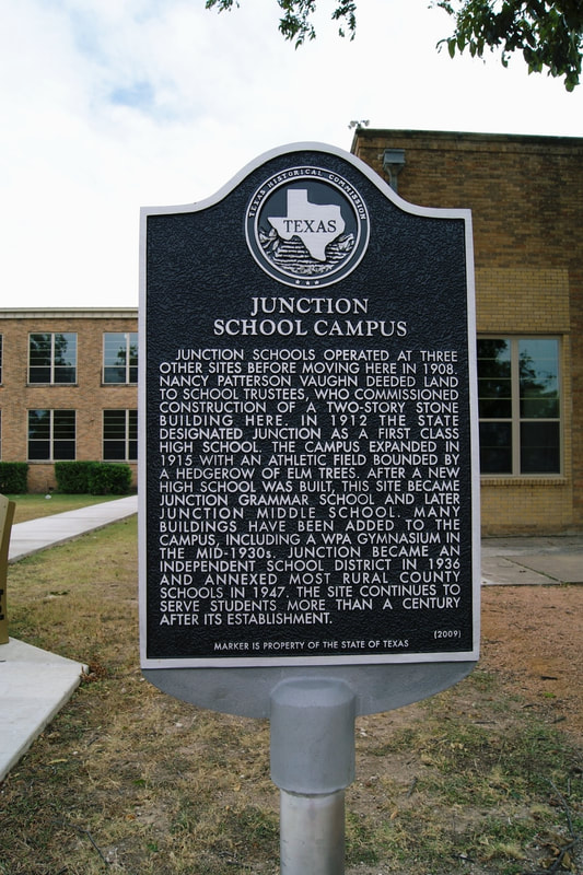
Marker Text: Junction schools operated at three other sites before moving here in 1908. Nancy Patterson Vaughn deeded land to school trustees, who commissioned construction of a two-story stone building here. In 1912 the state designated Junction as first class high school. The campus expanded in 1915 with an athletic field bounded by a hedgerow of elm trees. after a new high school was built, this site became Junction Grammar School and later Junction Middle School. many buildings have been added to the campus, including a WPA gymnasium in the mid-1930s. Junction became an Independent School District in 1936 and annexed most rural county schools in 1947. The site continues to serve students more than a century after its establishment. (2009)
Location: 1700 College Street, Junction
|