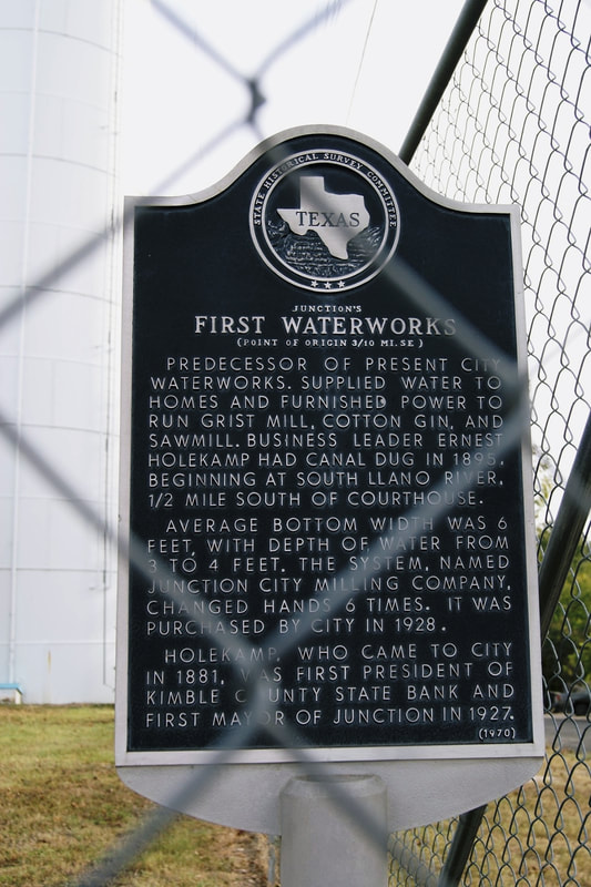
Junction's First Waterworks (Point of Origin 3/10 Mi. SE)
|
K
I M B L E C O U N T Y |
Marker Text: Predecessor of present city waterworks. Supplied water to homes and furnished power to run grist mill, cotton gin, and sawmill. Business leader Ernest Holekamp had canal dug in 1895, beginning at South Llano River, 1/2 mile south of Courthouse. Average bottom width was 6 feet, with depth of water from 3 to 4 feet. The system, named Junction City Milling Company, changed hands 6 times. It was purchased by city in 1928. Holekamp, who came to city in 1881, was first President of Kimble County State Bank and first Mayor of Junction, 1927. (1970)
Marker No: 2697
Aluminum 18 x 28 Subject Marker
Geographic: 30.487625,-99.765228
Location: corner of Oak and South 5th Streets, Junction
|
|