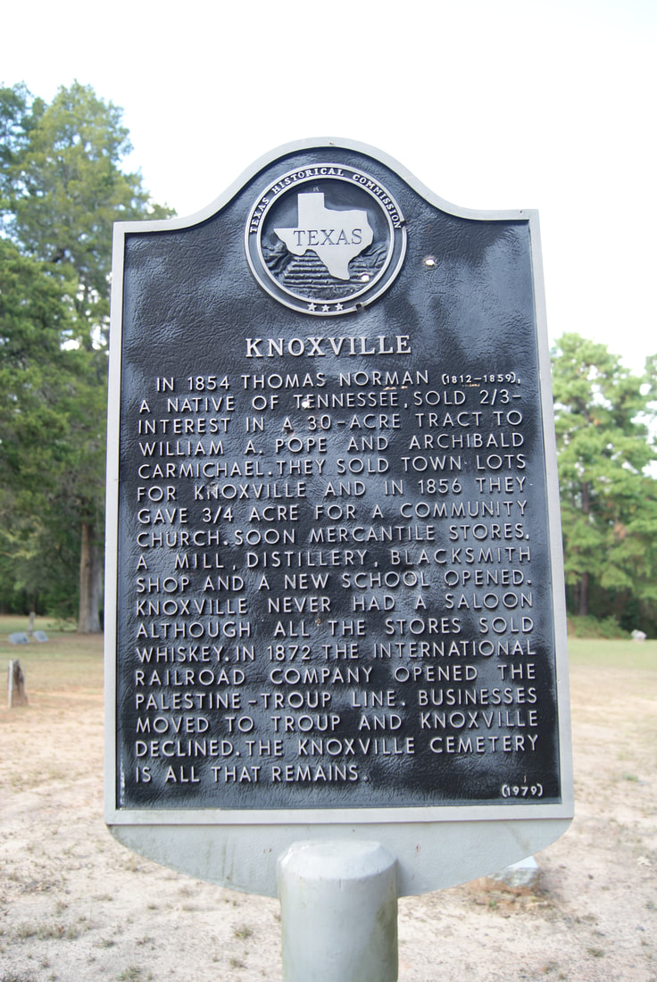
Knoxville
|
C
H E R O K E E C O U N T Y |
|
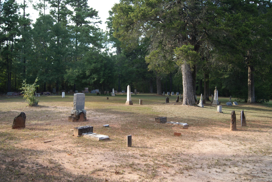
Marker Text: In 1854 Thomas Norman (1812-1859), a native of Tennessee, sold 2/3 interest in a 30-acre tract to William A. Pope and Archibald Carmichael. They sold town lots for Knoxville and in 1856, they gave 3/4 acre for a community church. Soon mercantile stores, a mill, distillery, blacksmith shop and a new school opened. Knoxville never had a saloon although all the stores sold whiskey. In 1872 the International Railroad Company opened the Palestine-Troup line. Businesses moved to Troup and Knoxville declined. The Knoxville cemetery is all that remains. (1979)
Marker No: 6834
Aluminum 18 x28 Subject Marker
Geographic: 32.097946, -95.086021
Location: about 7 miles north of New Summerfield off SH 10 down CR 4706
|