La Salle County
|
L
A S A L L E C O U N T Y |
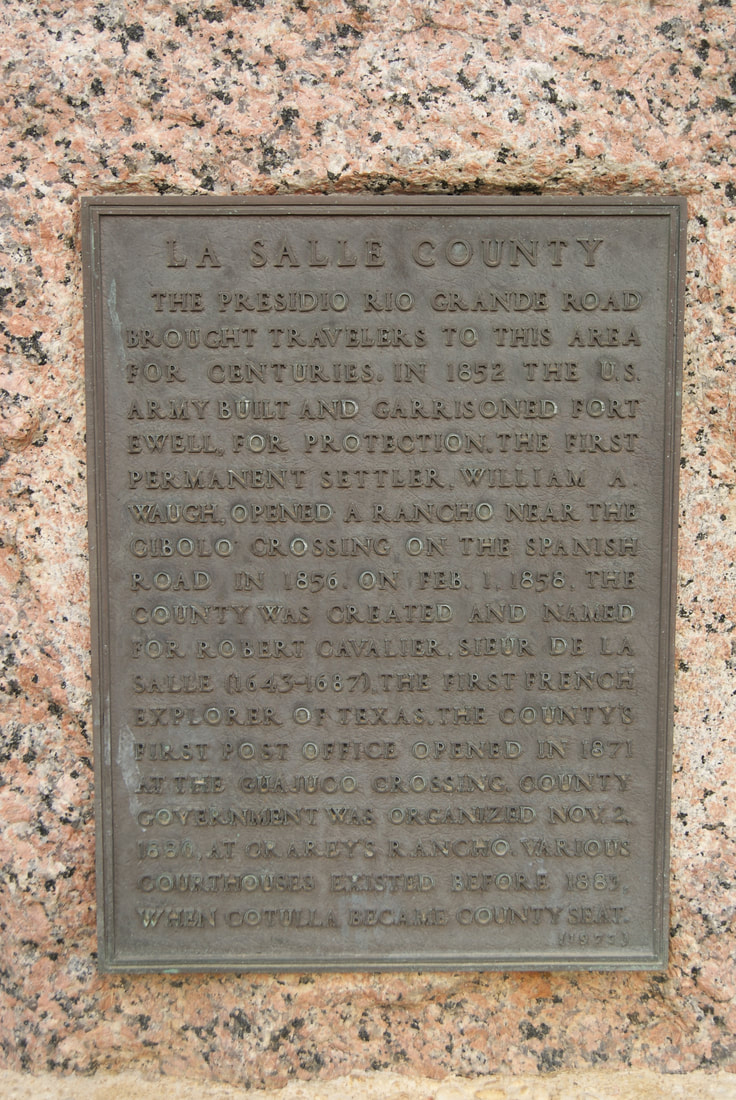
Marker No: 8134
Brass Plaque
Geographic: 28° 26.141′ N, 99° 14.169′ W
|
Marker Text: The Presidio Rio Grande Road brought travelers to this area for centuries. In 1852 the U. S. Army built and garrisoned Fort Ewell, for protection. The first permanent settler, William A. Waugh, opened a rancho near the Cibolo Crossing on the Spanish Road in 1856. On Feb. 1, 1858, the county was created and named for Robert Cavalier, Sieur de La Salle (1643-1687). The first French explorer of Texas. The county's first post office opened in 1871 at the Guajuco Crossing. County government was organized Nov. 2, 1880, at Crarey's Rancho. Various courthouses existed before 1883, when Cotulla became county seat. (1975)
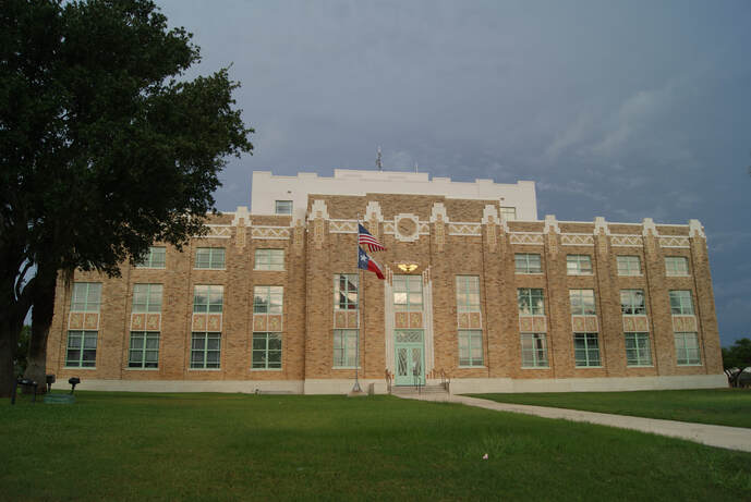
Location: Courthouse Square, Cotulla
|