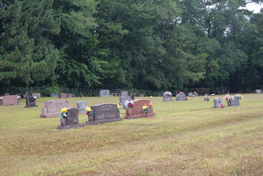
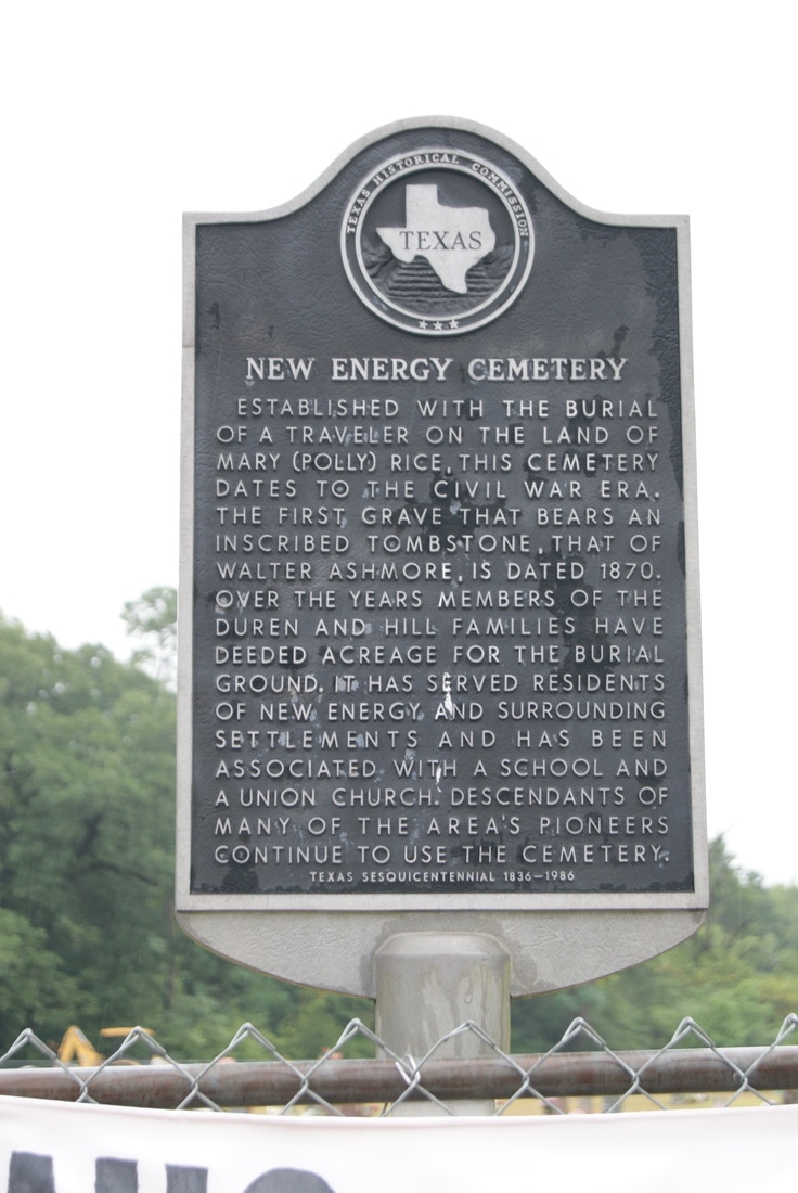
• Alfred M. Hallmark
  • First Baptist Church of Zephyr
  • Military Road
  • Belle Plaine Cemetery
  • Community of Fodice
  • Providence Church and Cemetery
  • Packsaddle Mountain
  • No. 59 Old San Antonio Road
  • Anderson County in the Civil War
  • Smithfield Baptist Church
  • Phair Cemetery
  • New Page
  • New Page
  • New Page
TEXAS HISTORICAL MARKERS

New Energy Cemetery

H
O
U
S
T
O
N

C
O
U
N
T
​Y
Picture
Marker No: 7050
Aluminum 18 x 28 Subject Marker
Marker Text: Established with the burial of a traveler on the land of Mary (Polly) Rice, this cemetery dates to the Civil War era. The first grave that bears an inscribed tombstone, that of Walter Ashmore, is dated 1870. Over the years members of the Duren and Hill families have deeded acreage for the burial ground. It has served residents of New Energy and surrounding settlements and has been associated with a school and a union church. Descendants of many of the area's pioneers continue to use the cemetery. (1986) 
Geographic: 31.432310,-95.321960
Location: SH 21 12 miles east of Crockett
Picture
Proudly powered by Weebly
  • Alfred M. Hallmark
  • First Baptist Church of Zephyr
  • Military Road
  • Belle Plaine Cemetery
  • Community of Fodice
  • Providence Church and Cemetery
  • Packsaddle Mountain
  • No. 59 Old San Antonio Road
  • Anderson County in the Civil War
  • Smithfield Baptist Church
  • Phair Cemetery
  • New Page
  • New Page
  • New Page