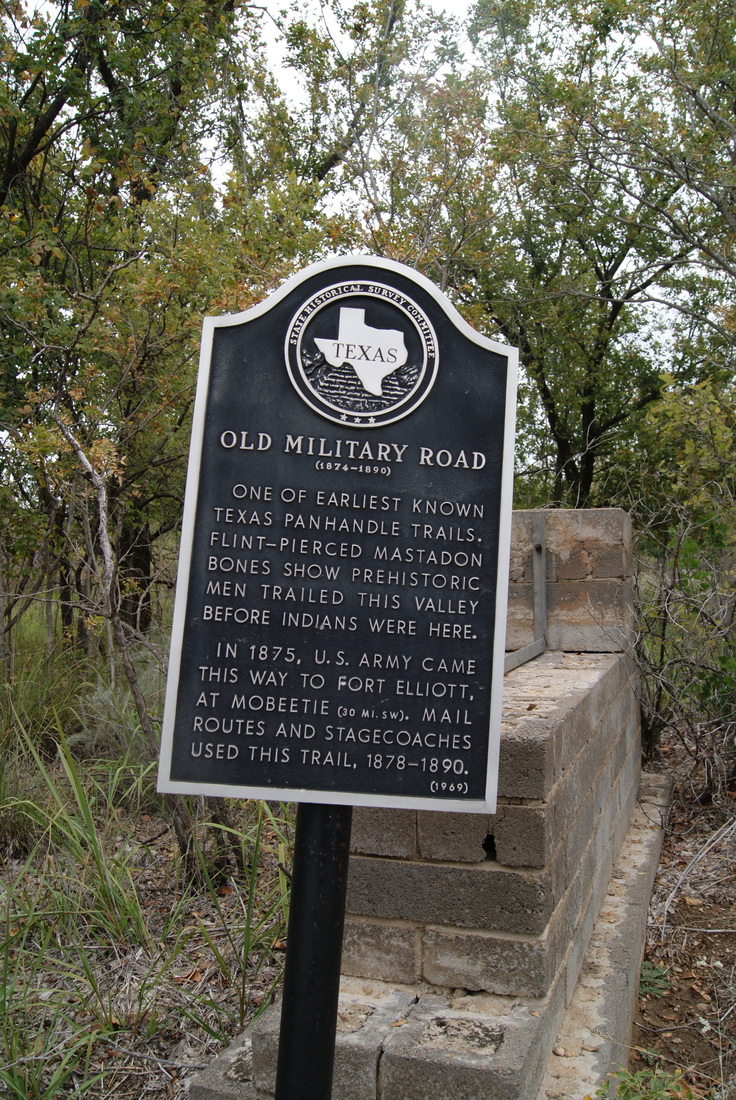
• Alfred M. Hallmark
  • First Baptist Church of Zephyr
  • Military Road
  • Belle Plaine Cemetery
  • Community of Fodice
  • Providence Church and Cemetery
  • Packsaddle Mountain
  • No. 59 Old San Antonio Road
  • Anderson County in the Civil War
  • Smithfield Baptist Church
  • Phair Cemetery
  • New Page
  • New Page
  • New Page
TEXAS HISTORICAL MARKERS

Old Military Road ​
(1874 - 1890)

H
E
M
P
H
I
L
L

C
O
U
N
T
Y
Marker Text: One of earliest known Texas Panhandle trails. Flint-pierced mastodon bones show prehistoric men trailed this valley before Indians were here.
​    In 1875, U.S. Army came this way to Fort Elliott, at Mobeetie (30 miles, southwest). Mail routes and stagecoaches used this trail, 1878-1890. (1969)
Marker No: 3767
Aluminum 14 x 24 Subject Marker
Geographic: 35.885834, -100.179482
Location: from Canadian, drive US 60, north about 3 miles, turn east on FM 2266, marker is located about 12 miles east at entrance to Black Kettle National Grassland Campground
Picture
Proudly powered by Weebly
  • Alfred M. Hallmark
  • First Baptist Church of Zephyr
  • Military Road
  • Belle Plaine Cemetery
  • Community of Fodice
  • Providence Church and Cemetery
  • Packsaddle Mountain
  • No. 59 Old San Antonio Road
  • Anderson County in the Civil War
  • Smithfield Baptist Church
  • Phair Cemetery
  • New Page
  • New Page
  • New Page