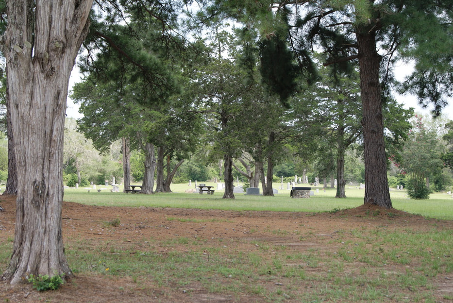
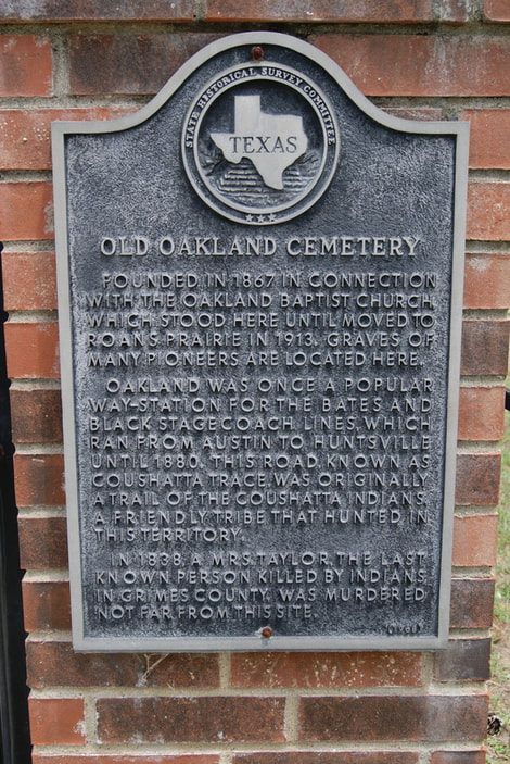
Old Oakland Cemetery
|
Marker Text : Founded in 1867 in connection with the Oakland Baptist Church, which stood here until moved to Roans Prairie in 1913. Graves of many pioneers are located here. Oakland was once a popular way-station for the Bates and Black Stagecoach Lines, which ran from Austin to Huntsville until 1880. This road, known as Coushatta Trace, was originally a trail of the Coushatta Indians, a friendly tribe that hunted in this territory. In 1838, a Mrs. Taylor, the last known person killed by Indians in Grimes County, was murdered not far from this site. (1967)
Marker Number: 8609
18 X 28 Aluminium Plate Subject Marker
Geographic: 30.566837, -95.942902
Location: from the intersection of SH 90 and SH 30 in Roans Prairie take SH 30 east approximately 0.6 mile to FM 2562; take FM 2562 south approximately 0.2 mile to CR 219; then west on CR 219 approximately 1.2 miles to cemetery.
|
|