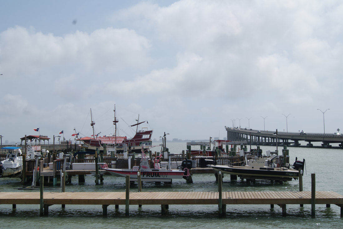
Port of Matamoros
|
C
A M E R O N C O U N T Y |
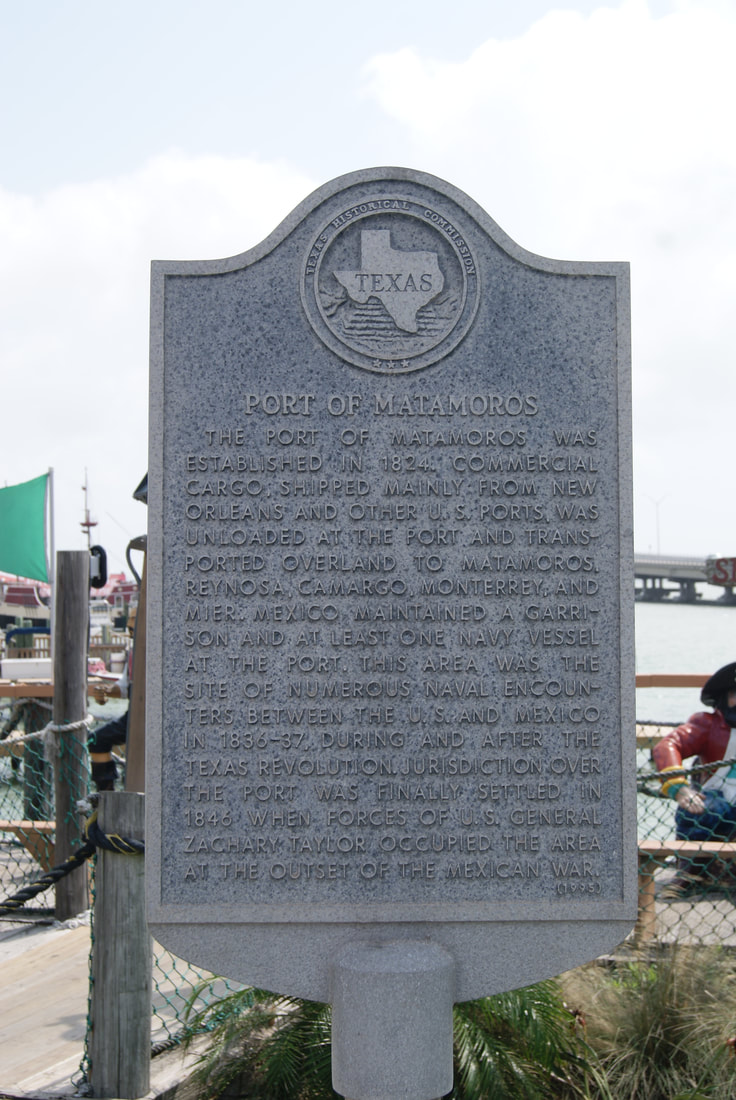
Marker Text: The Port of Matamoros was established in 1824. Commercial cargo, shipped mainly from New Orleans and other U.S. ports, was unloaded at the port and transported overland to Matamoros, Reynosa, Camargo, Monterrey, and Mier. Mexico maintained a garrison and at least one Navy vessel at the port. This area was the site of numerous naval encounters between the U.S. and Mexico in 1836-37, during and after the Texas Revolution. Jurisdiction over the port was finally settled in 1846 when forces of U.S. General Zachary Taylor occupied the area at the outset of the Mexican War. (1994)
Marker No: 4082
Aluminum 18 x 28 Subject Marker
|
Geographic: 26.078621, -97.206589
Location: On shore north of causeway, at end of east Maxan Street, Port Isabel.
|