Sam Houston Oak
|
G
O N Z A L E S C O U N T Y |
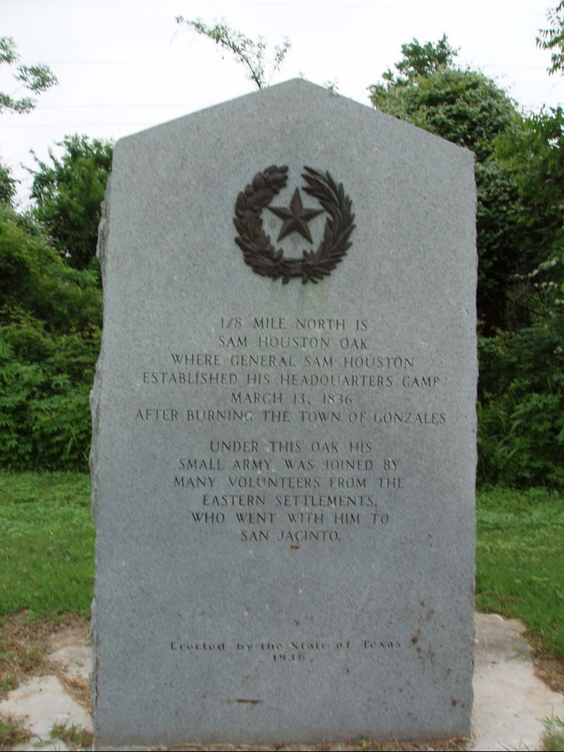
Location: from Gonzales take US 90 A East about 10 mile.
|
Marker Text: 1/8 mile north is Sam Houston Oak where General Sam Houston established his headquarters camp, March 13, 1836 after burning the town of Gonzales.
Under this oak his small army was joined by many volunteers from the eastern settlements who went with him to San Jacinto. (1936) Marker No: 4503
Gray Granites 1936 Centennial Marker
Geographic: 29.471556,-97.308617
|