Schulenburg
|
F
A Y E T T E C O U N T Y |
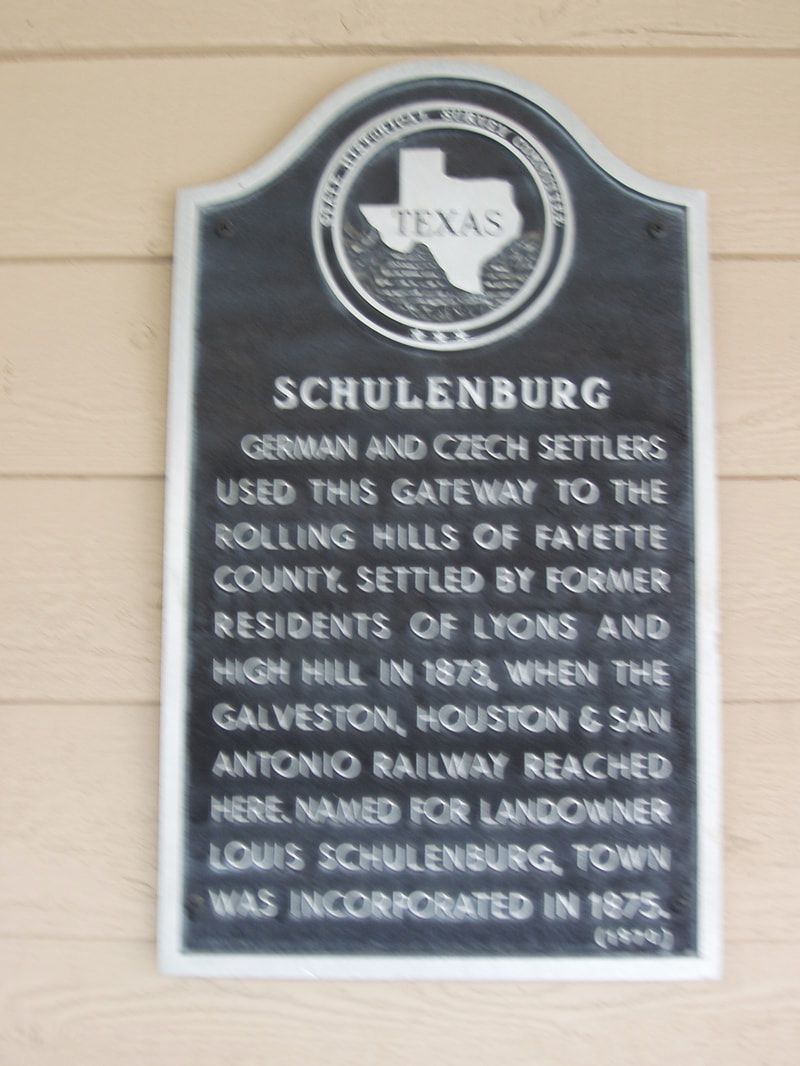
Marker Text: German and Czech settlers used this gateway to the rolling hills of Fayette County. Settled by former residents of Lyons and High Hill in 1873, when the Galveston, Houston & San Antonio railway reached here. Named for landowner Louis Schulenburg, town was incorporated in 1875. (1970)
Marker No: 4607
Aluminum 14 x 24 Subject Marker
Geographic: 29.686710,-96.902702
Location: Highway 77 .3 miles north of Highway 90 (at Chamber of Commerce) Schulenburg
|
|