210 Feet North 36º East of this Point is the Exact
Site of a
Confederate Powder Mill
|
E
L L I S C O U N T Y |
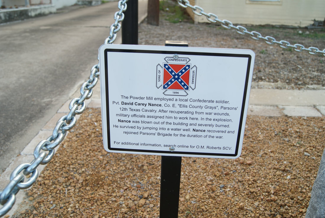
Marker Text: Erected in 1862 by William Rowen. On April 29, 1863 it was destroyed by an explosion and its owner killed. Also killed was Joshua G. Phillips. (1936)
Marker No: 7978
1936 Gray Centennial Marker
Geographic: 32.388008, -96.846863
Location: 300 North Rogers Street, Waxahachie
|