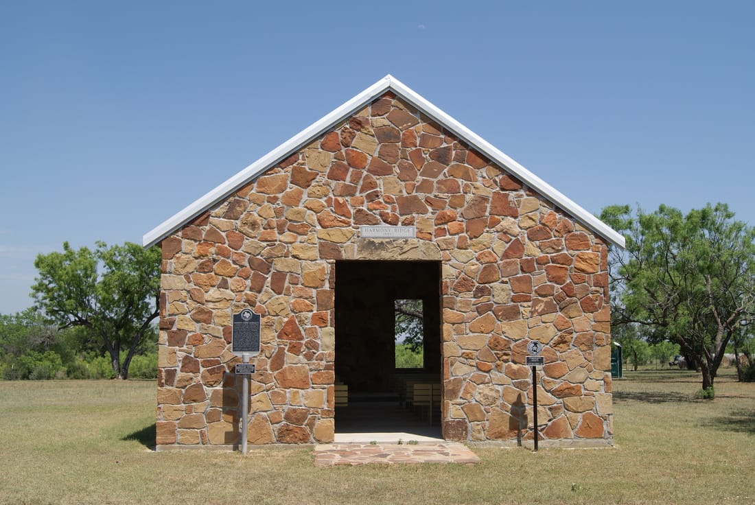
Site of Harmony Ridge Community
|
S
A N S A B A C O U N T Y |
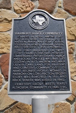
Marker Text: Founded in 1870s. Among first settlers were the families of Andrew, Mark, and Polk Oliver; Stephen M. Lewis; William Faver; Matt Senterfitt; Asa J. Howard.
The only building (a two-story frame structure housing Cumberland Presbyterian Church and local school) was built by citizens in 1877. Andrew and Mark Oliver gave land for building and cemetery. Community got its name because people worked in harmony on construction. Second story was removed in 1911 and brick veneer was added in 1960. Cemetery group meets yearly although community is inactive. (1971) Additional Plate; The original building burned in 2005. The present structure was built in 2007 on the footprint of the original building. (2008) 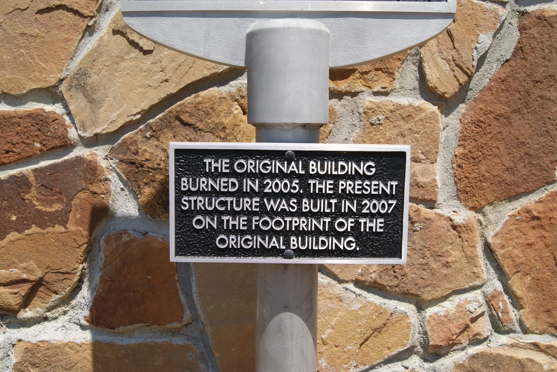
|
Marker No: 6041 & Additional Plate: 14426
Aluminum 18 x 28 Subject Marker
Geographic: 31.242695, -98.580643
Location: 7 miles east on US 190, 3 miles on CR 132 to CR 126
|