• Alfred M. Hallmark
  • First Baptist Church of Zephyr
  • Military Road
  • Belle Plaine Cemetery
  • Community of Fodice
  • Providence Church and Cemetery
  • Packsaddle Mountain
  • No. 59 Old San Antonio Road
  • Anderson County in the Civil War
  • Smithfield Baptist Church
  • Phair Cemetery
  • New Page
  • New Page
  • New Page
TEXAS HISTORICAL MARKERS

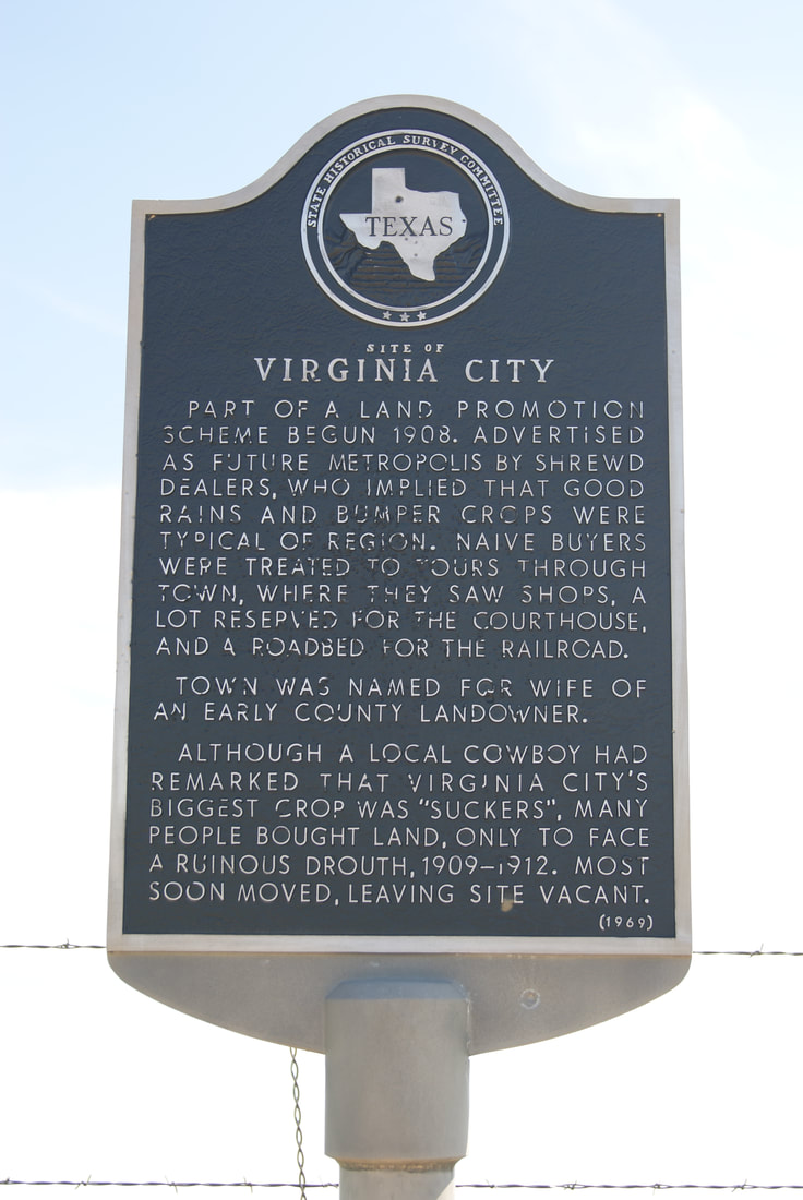
​Site of
Virginia City

​B
A
I
L
E
Y

C
O
U
N
T
​Y
Picture
Marker No: 4909
Aluminum 18 x 28 Subject Marker
Geographic: ​33° 58.739′ N, 102° 54.266′ W
Marker Text: Part of a land promotion scheme begun 1908. Advertised as future metropolis by shrewd dealers, who implied that good rains and bumper crops were typical of region. Naive buyers were treated to tours through town, where they saw shops, a lot reserved for the courthouse, and a roadbed for the railroad.
     Town was named for wife of an early county landowner.
​     Although a local cowboy had remarked that Virginia City's biggest crop was "suckers", many people bought land, only to face a ruinous drought, 1909-1912. Most soon moved, leaving site vacant. (1968)
Location: ​on county road, 20 miles southwest of Muleshoe
Proudly powered by Weebly
  • Alfred M. Hallmark
  • First Baptist Church of Zephyr
  • Military Road
  • Belle Plaine Cemetery
  • Community of Fodice
  • Providence Church and Cemetery
  • Packsaddle Mountain
  • No. 59 Old San Antonio Road
  • Anderson County in the Civil War
  • Smithfield Baptist Church
  • Phair Cemetery
  • New Page
  • New Page
  • New Page