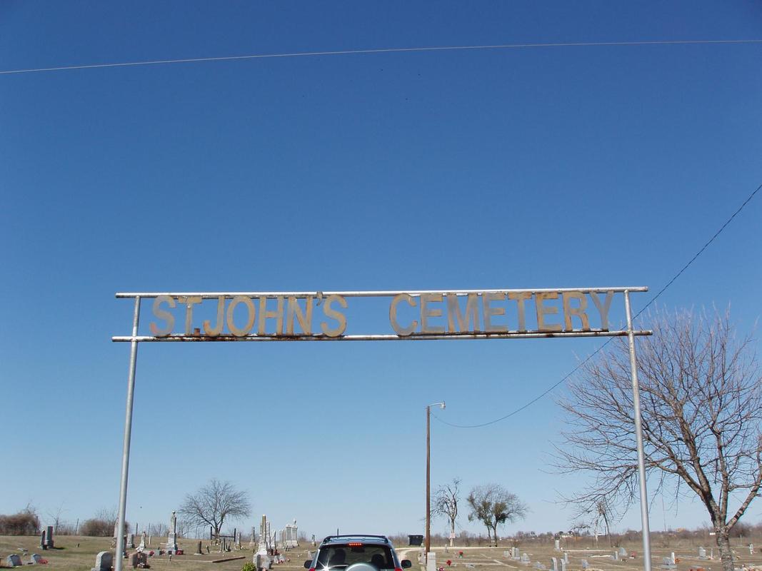
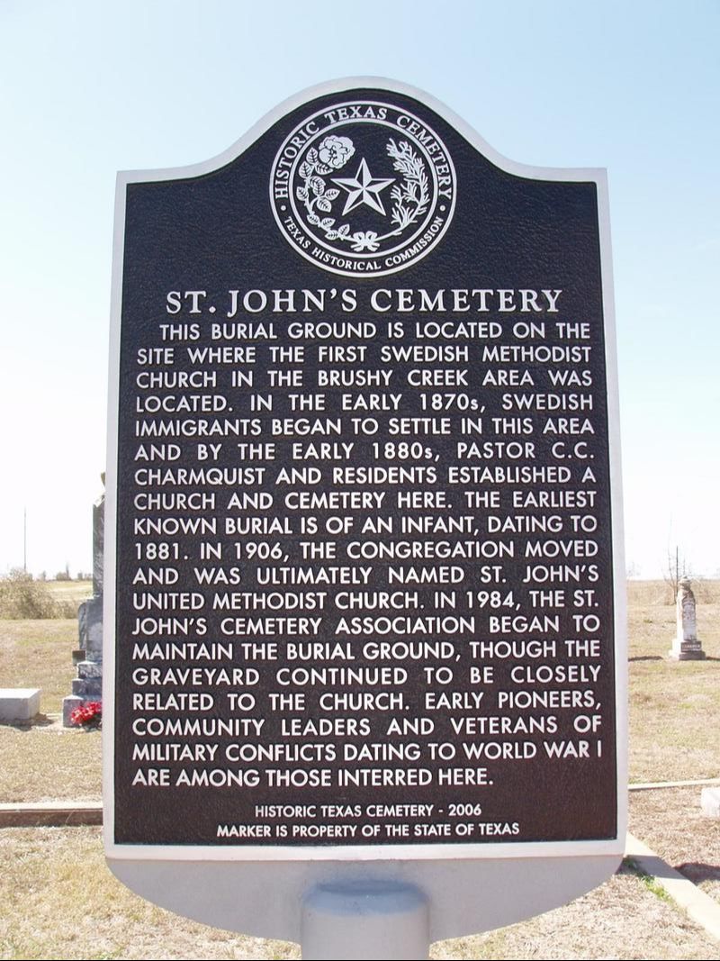
St. John's Cemetery
|
W
I L L I A M S O N C O U N T Y |
Marker No: 15064
Texas Historic Cemetery Marker
Geographic: N 30° 35.278', W 97° 39.548'
|
Marker Text: This burial ground is located on the site where the first Swedish Methodist Church in Brushy Creek area was located. In the early 1870s, Swedish immigrants began to settle in this area and by the early 1880s, Pastor C.C. Charmquist and residents established a church and cemetery here. Earliest known burial is of an infant, dating to 1881. In 1906, the congregation moved and was ultimately named St. John's United Methodist Church. in 1984, the St. John's Cemetery Association began to maintain the burial ground, though the graveyard continued to be closely related to the church. early pioneers, community leaders and veterans of military conflicts dating to Word War I are among those interred here. (2006)
Location: Northwest corner of FM 1460 (Rabbit Hill Road) and CR 111 (Westinghouse Road). 2 miles south of the Southeast Inner Loop on FM 1460, Georgetown
|