The Brazos Canal
|
B
R A Z O R I A C O U N T Y |
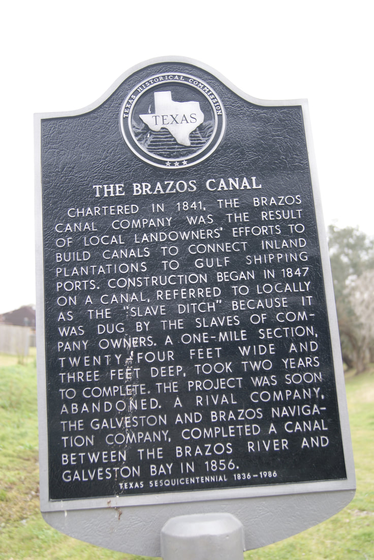
Marker Text: Chartered in 1841, the Brazos Canal Company was the result of local landowners' efforts to build canals to connect inland plantations to Gulf shipping ports. Construction began in 1847 on a canal, referred to locally as the "slave ditch" because it was dug by the slaves of company owners. A one-mile section, twenty-four feet wide and three feet deep, took two years to complete. The project was soon abandoned. A rival company, the Galveston and Brazos Navigation Company, completed a canal between the Brazos River and Galveston Bay in 1856. (1986)
Marker No: 9535
Aluminum 18 x 28 Subject Marker
Geographic: 29° 3.423′ N, 95° 25.906′ W
|
Location: Crepe Myrtle Street east of Beechwood Street, Lake Jackson
|