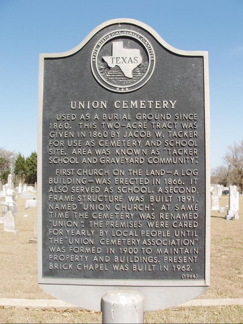
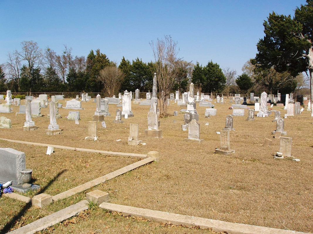
Union Cemetery
Marker No: 9907
Aluminum 18 x 28 Subject Marker
Geographic: 31.525803, -96.267723
Location: from Teague, take FM 80 S about 7 miles to FM 489, go west about 1.7 mile to Union Cemetery Road, go south about .5 mile to cemetery
|
Marker Text: Used as a burial ground since 1860. This two-acre tract was given in 1860 by Jacob W. Tacker for use as cemetery and school site. Area was known as "Tacker School and Graveyard Community."
First church on the land-- a log building-- was erected in 1866. It also served as school. A second, frame structure was built 1891, named "Union Church." At same time the cemetery was renamed "Union." The premises were cared for yearly by local people until the "Union Cemetery Association" was formed in 1900 to maintain property and buildings. Present brick chapel was built in 1962. (1968) |