• Alfred M. Hallmark
  • First Baptist Church of Zephyr
  • Military Road
  • Belle Plaine Cemetery
  • Community of Fodice
  • Providence Church and Cemetery
  • Packsaddle Mountain
  • No. 59 Old San Antonio Road
  • Anderson County in the Civil War
  • Smithfield Baptist Church
  • Phair Cemetery
  • New Page
  • New Page
  • New Page
TEXAS HISTORICAL MARKERS

No. 18
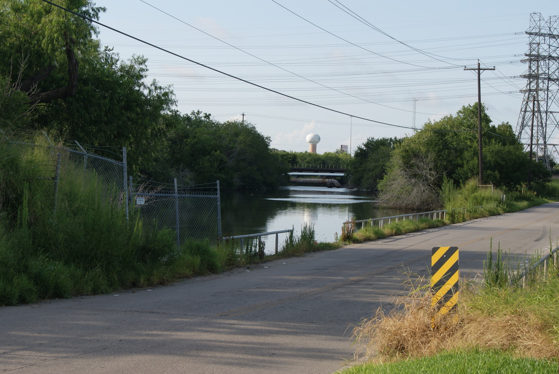
​Site of Vince's Bridge

​​H
A
R
R
I
S

C
O
U
N
T
​Y
Marker Text: ​ Destroyed by military permission, April 21, 1836 by Deaf Smith, John Coker, Denmore Reves, John Garner, John Rainwater, Moses Lapham, Y.P. Alsbury. This heroic deed is believed to  have insured the capture of Santa Anna.  (1912)

No. 18
Pink Granite Block- San Jacinto Battle Marker
Geographic: 29°43'9"N   95°13'12"W
Location: 505-511 North Richey Street, Pasadena
Picture
Proudly powered by Weebly
  • Alfred M. Hallmark
  • First Baptist Church of Zephyr
  • Military Road
  • Belle Plaine Cemetery
  • Community of Fodice
  • Providence Church and Cemetery
  • Packsaddle Mountain
  • No. 59 Old San Antonio Road
  • Anderson County in the Civil War
  • Smithfield Baptist Church
  • Phair Cemetery
  • New Page
  • New Page
  • New Page