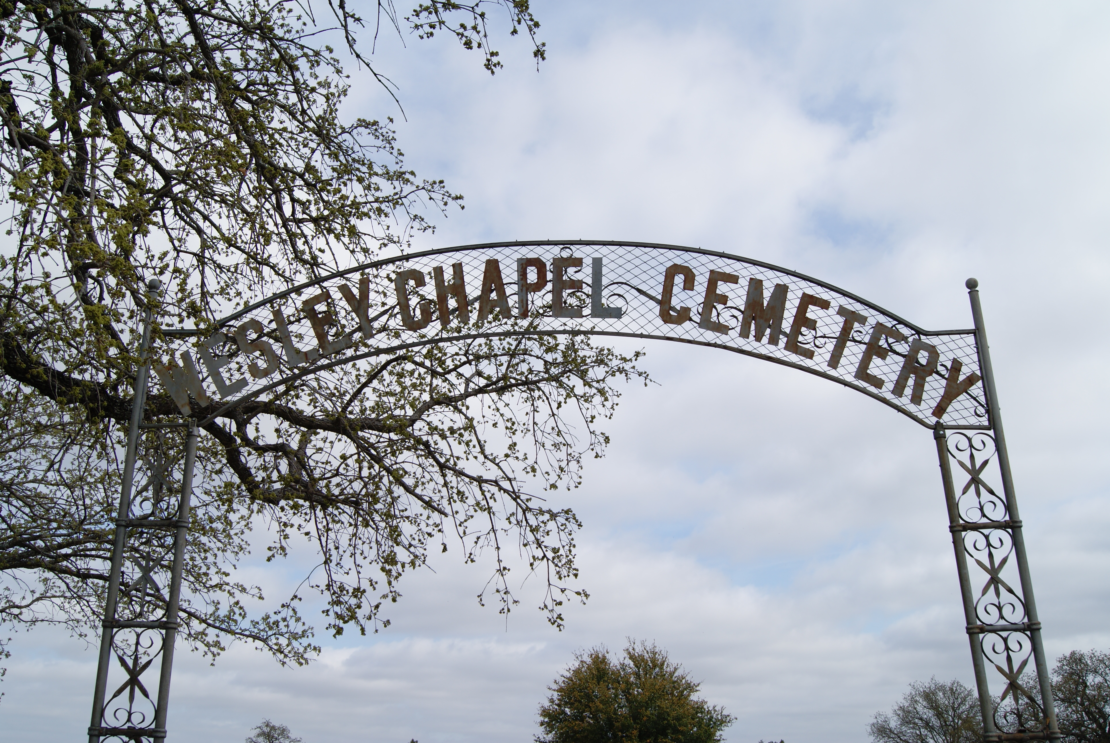
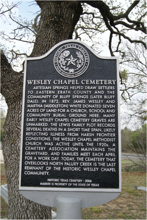
Wesley Chapel Cemetery
|
E
R A T H C O U N T Y |
Marker No: 14278
Historical Texas Cemetery Marker
Geographic: N 32° 20.932 W 098° 03.329
|
Marker Text: Artesian springs helped draw settlers to Eastern Erath County and the community of Bluff Springs (later Bluff Dale). In 1872, Rev. James Wesley and Martha (Middleton) White donated seven acres of land for a church, school and community burial ground here. Many early Wesley Chapel Cemetery graves are unmarked. The Lewis family plot records several deaths in a short time span, likely reflecting illness from harsh frontier conditions. The Wesley Chapel Methodist Church was active until the 1920s. A cemetery association maintains the graveyard, and families meet each April for a work day. Today, the cemetery that overlooks north Paluxy Creek is the last remnant of the historic Wesley Chapel community. (2006)
Location: 2 miles west of Bluff Dale on FM 1188
|