Anderson County Poor Farm
|
A
N D E R S O N C O U N T Y |
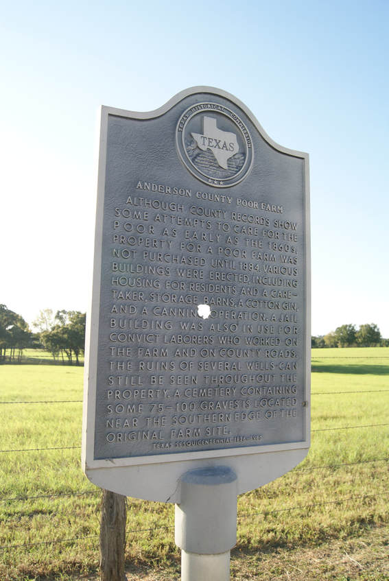
Location: about 2.5 mi. south of Palestine on South Sycamore Road. (FM 322)
|
Marker Text: Although county records show some attempts to care for the poor as early as the 1860s, property for a poor farm was not purchased until 1884. Various buildings were erected, including housing for residents and a caretaker, storage barns, a cotton gin, and a canning operation. A jail building was also in use for convict laborers who worked on the farm and on county roads. The ruins of several wells can still be seen throughout the property. A cemetery containing some 75-100 graves is located near the southern edge of the original farm site. (1986)
Marker No: 8733
Aluminum 18 x 28 Subject Marker
Geographic: 31.705681,-95.628754
|