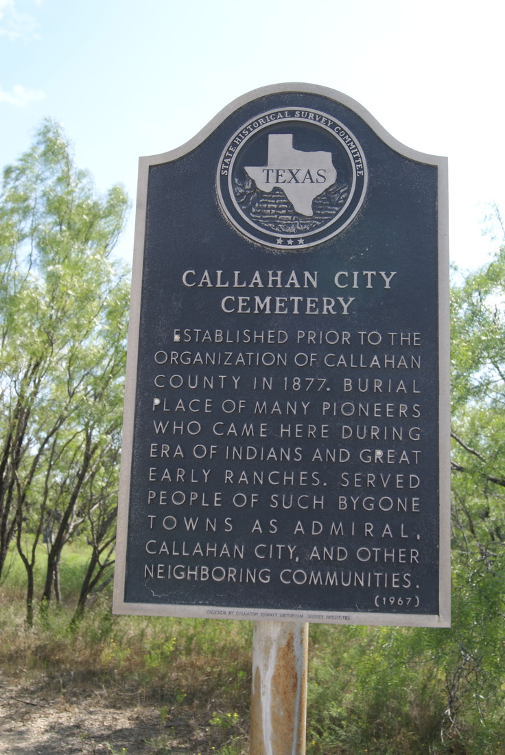
Callahan City Cemetery
|
C
A L L A H A N C O U N T Y |
|
Marker Text: Established prior to the organization of Callahan County in 1877. Burial place of many pioneers who came here during era of Indians and great early ranches. Served people of such bygone towns as Admiral, Callahan City, and other neighboring communities. (1967)
Marker No: 633
Aluminum 14 x 24 Subject Marker
Geographic: 32.346500, -99.299019
Location: from Baird, take US 80 East about 4 miles, then go south on FM 2228 about 2.5 miles
|