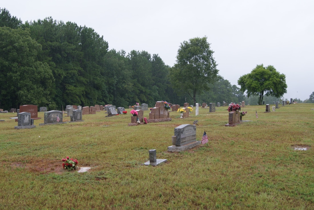
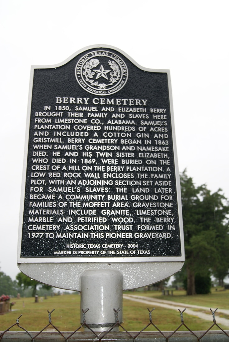
Berry Cemetery
|
A
N G E L I N A C O U N T Y |
Location: 6.6 miles north from Lufkin on FM 842 to cemetery on north side behind Mt. Zion Church.
|
Marker Text: In 1850, Samuel and Elizabeth Berry brought their family and slaves here from Limestone Co., Alabama. Samuel's plantation covered hundreds of acres and included a cotton gin and gristmill. Berry Cemetery began in 1863 when Samuel's grandson and namesake died. He and his twin sister Elizabeth, who died in 1869, were buried on the crest of a hill on the Berry plantation. A low red rock wall encloses the family plot, with an adjoining section set aside for Samuel's slaves. The land later became a community burial ground for families of the Moffett area. Gravestone materials include granite, limestone, marble and petrified wood. The Berry Cemetery Association Trust formed in 1977 to maintain this pioneer graveyard. Historic Texas Cemetery - 2004 Marker is Property of the State of Texas. (2004)
Marker No: 14367
Texas Historic Cemetery Marker
Geographic: 31.398188,-94.648529
|