Bowser Community
|
S
A N S A B A C O U N T Y |
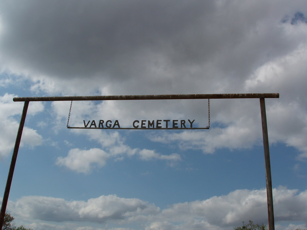
Marker Text: About 1858 the Abel Bowser family settled at a large bend in the Colorado River about 3 miles north of this site. The developing village, school and cemetery became known as Bowser Bend and by the late 1880s included a cotton gin and store. Due to river floods, Paul Varga donated land at this site for a chapel and cemetery in 1890. In the early 1900s J. T. Martin sold town lots and deeded land for a school one-half mile east. The town of Bowser relocated, but the closure of the post office, gin and school caused it to decline in the 1940s. (1990)
Marker No: 476
Aluminum 18 x 28 Subject Marker
Geographic: 31 24.314' N 98 58.853' W
Location: At Varga Cemetery, from Richland Springs, take Highway 45 North about 5 miles then go west on FM 502 for about 3.1 miles. Go north on County Road about 2 miles to Varga Cemetery (west side of road).
|