Burleson County
|
B
U R L E S O N C O U N T Y |
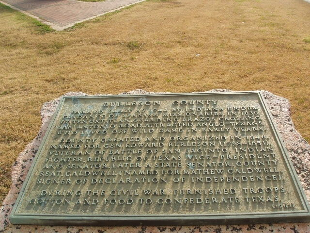
Marker Text: Farmed early as 1744 by Indians under guidance of Spanish missionaries. In 1830, Ft. Tenoxtitlan, guarding Brazos crossing, San Antonio Road, attracted Anglo-Texans, who lived off wild game in early years. County created and organized in 1846. Named for Gen.Edward Burleson (1798-1851), veteran of Battle of San Jacinto; Indian fighter; Republic of Texas vice-president and senator, later a state senator. County seat, Caldwell (named for Mathew Caldwell, signer of Declaration of Independence). During the Civil War, furnished troops, cotton and food to Confederate Texas. (1936) (1965)
|
Marker No: 7553
1936 Pink Granite County Marker
Geographic: 30.537628,-96.692963
Location: Southeast Corner (in traffic triangle) of the intersection of SH 21 & SH 36, Caldwell