Coleman County
|
C
O L E M A N C O U N T Y |
|
|
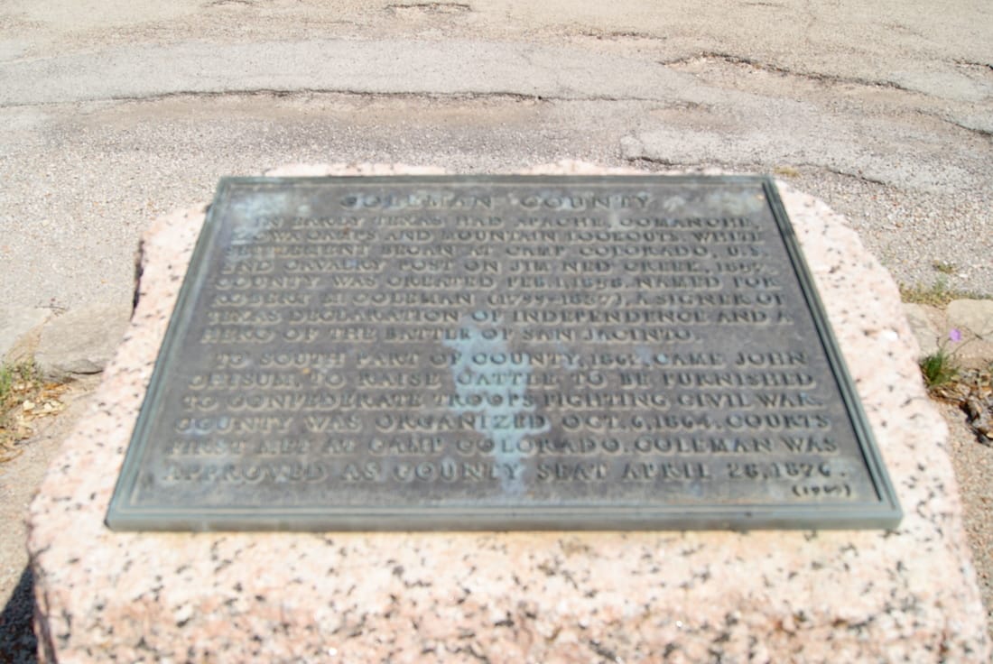
Marker Text: In early Texas had Apache, Comanche, Kiowa camps and mountain lookouts. White settlement began at Camp Colorado, U.S. 2nd Cavalry Post on Jim Ned Creek, 1857. County was created Feb. 1, 1858. Named for Robert M. Coleman (1799-1837), a signer of Texas Declaration of Independence and a hero of the Battle of San Jacinto.
To south part of county, 1862, came John Chisum, to raise cattle to be furnished to Confederate troops fighting Civil War. County was organized Oct. 6, 1864. Courts first met at Camp Colorado. Coleman was approved as county seat April 28, 1876. (1936) (1965) |
Marker No: 14402
1936 Pink Granite Centennial County Marker
Geographic:
Location: 1 mile east on Us 84 in front of texas Rangers Motel, 100 yards off highway , Santa Anna
|