Colorado County
|
C
O L O R A D O C O U N T Y |
|
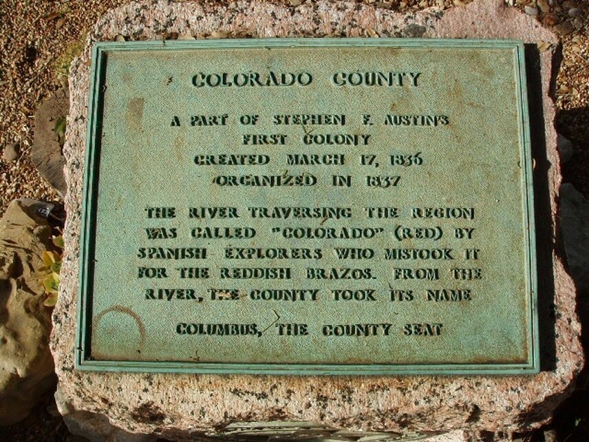
Marker Text: A part of Stephen F. Austin's first colony created March 17, 1836. Organized in 1837.
The river traversing the region was called "Colorado" (Red) by Spanish explorers who mistook it for the reddish Brazos. From the river, the county took its name
Columbus, the county seat. (1936)
The river traversing the region was called "Colorado" (Red) by Spanish explorers who mistook it for the reddish Brazos. From the river, the county took its name
Columbus, the county seat. (1936)
Marker No: 973
Pink Granite 1936 Centennial Marker
Geographic: 29.719698,-96.552277
Location: 1/2 mile north of Colorado River on Business 71 at FM 109 turnoff, Columbus