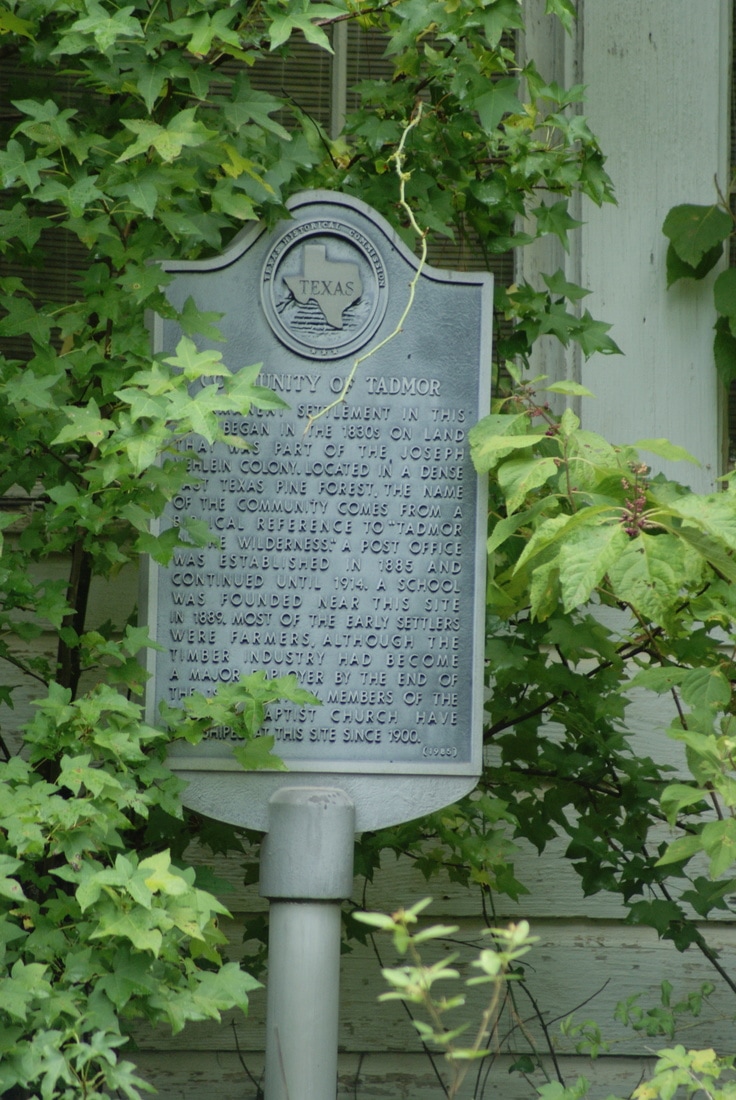
Community of Tadmor
|
H
O U S T O N C O U N T Y |
Marker Text: Permanent settlement in this area began in the 1830s on land that was part of the Joseph Vehlein Colony. Located in a dense East Texas pine forest, the name of the community comes from a biblical reference to "Tadmor in the Wilderness." A post office was established in 1885 and continued until 1914. A school was founded near this site in 1889. Most of the early settlers were farmers, although the timber industry had become a major employer by the end ot the 19th century. Members of the Tadmor Baptist Church have worshipped at this site since 1900. (1985)
Marker No: 7046
Aluminum 18 x 28 Subject Marker
Geographic: 31.427773,-95.181816
Location: FM 227 from Ratcliff 3.5 miles to CR, then west on CR .5 mile
|
|