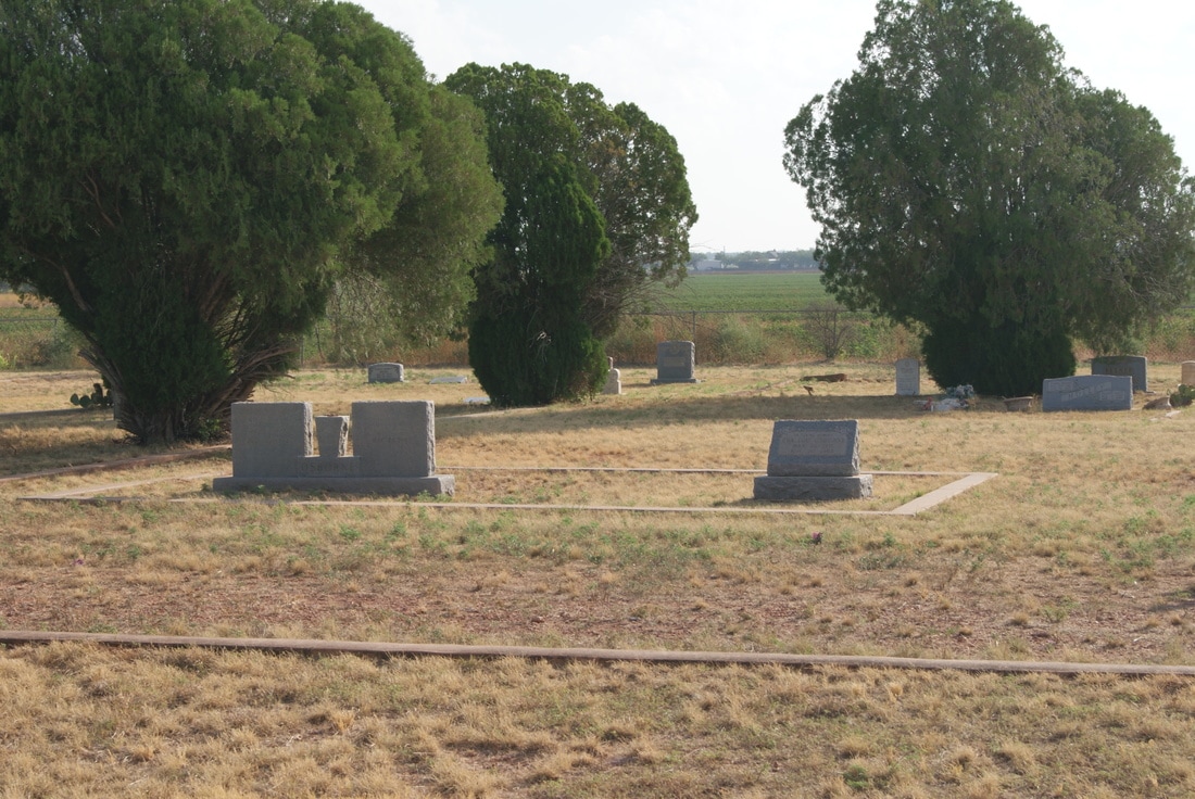
Compere Cemetery
|
J
O N E S C O U N T Y |
Location: 1 mile south of Anson on US 277, then 11 miles southwest on FM 707, 4 miles west on CR 454, and 0.25 mile south on CR 447
|
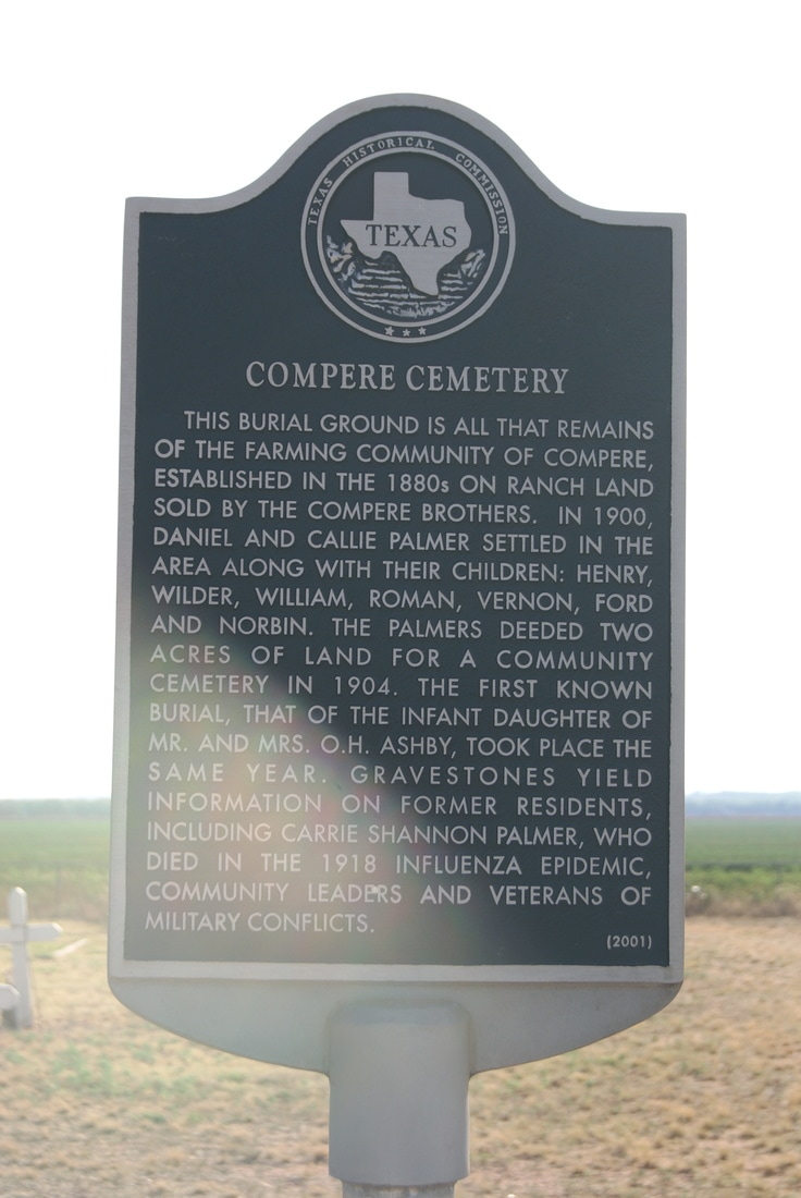
Marker Text: This burial ground is all that remains of the farming community of Compere, established in the 1880s on ranch land sold by the Compere brothers. In 1900, Daniel and Callie Palmer settled in the area along with their children: Henry, Wilder, William, Roman, Vernon, Ford and Norbin. The Palmers deeded two acres of land for a community cemetery in 1904. The first known burial, that of the infant daughter of Mr. and Mrs. O. H. Ashby, took place the same year. Gravestones yield information on former residents, including Carrie Shannon Palmer, who died in the 1918 influenza epidemic, community leaders and veterans of military conflicts. (2001)
Marker No: 12502
Aluminum 18 x 28 Subject Marker
Geographic: 32.58245, -99.97607
|