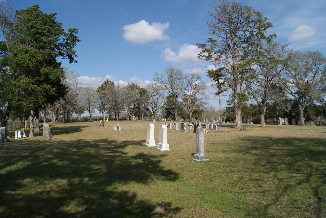
Courtney Cemetery
|
G
R I M E S C O U N T Y |

Marker No: 8586
Aluminum 18 x 28 Subject Marker
Geographic: 30.272869, -96.063774
Location: from Navasota take SH 6 south approximately 9 miles to FM 2; then west on FM 2 approximately 1.2 miles to CR 327; then west on CR 327 approximately .3 miles.
|
Marker Text: Located on land which is adjacent to the 1873 subdivision of Courtney known as McAlpine Town, this cemetery was established by developer Dugald McAlpine (1795-1876). The oldest documented grave in the cemetery is that of W. S. Draper (1828-1873). There are some unmarked graves which may date from an earlier period. Those interred here include community leaders, descendants of early settlers, and veterans of the Civil War, World War I, World War II, and Korea. A cemetery association, formed in 1971, cares for the historic graveyard. (1988)
|