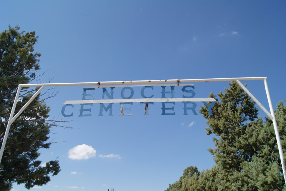
Enochs Cemetery
|
B
A I L E Y C O U N T Y |
Marker No 14145
Texas Historical Cemetery Marker
Geographic: 33.869576, -102.766182
Location: 700 feet south- 1,713 feet west of intersection FM 54 and Highway 214
|
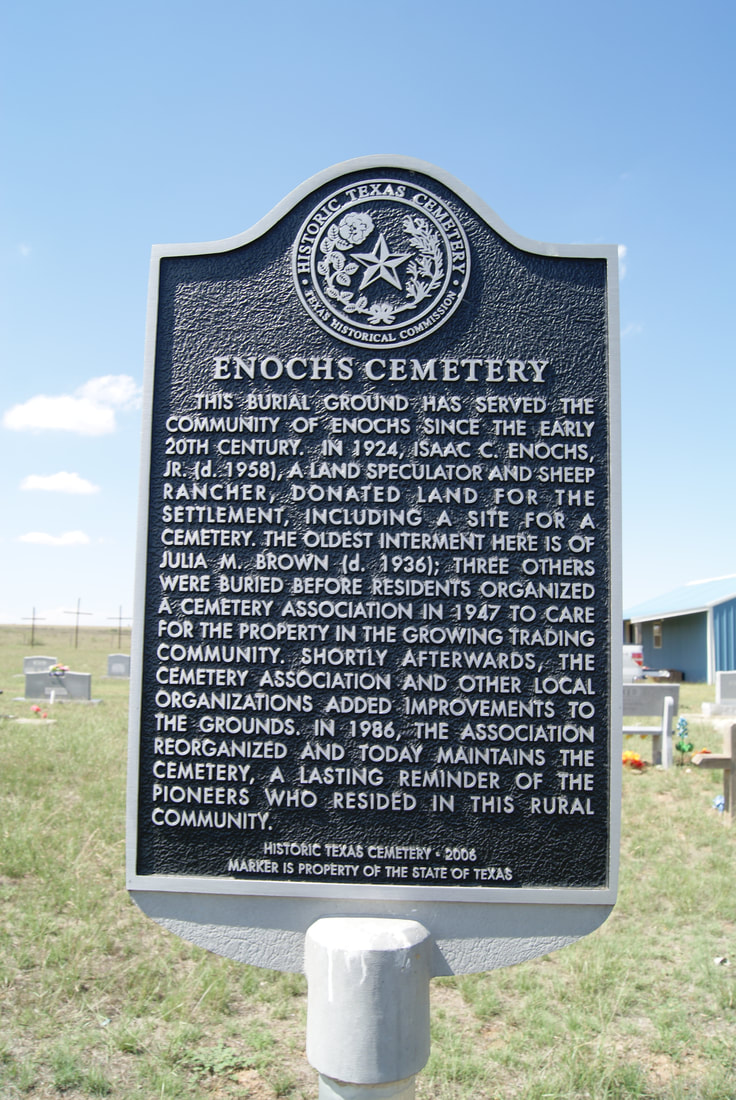
Marker Text: This burial ground has served the community of Enochs since the early 20th century. In 1924, Isaac C. Enochs, Jr. (d. 1958), a land speculator and sheep rancher, donated land for the settlement, including a site for a cemetery. The oldest interment here is of Julia M. Brown (d. 1936); three others were buried before residents organized a cemetery association in 1947 to care for the property in the growing trading community. Shortly afterwards, the cemetery association and other local organizations added improvements to the grounds. In 1986, the association reorganized and today maintains the cemetery, a lasting reminder of the pioneers who resided in this rural community. (2006)
|
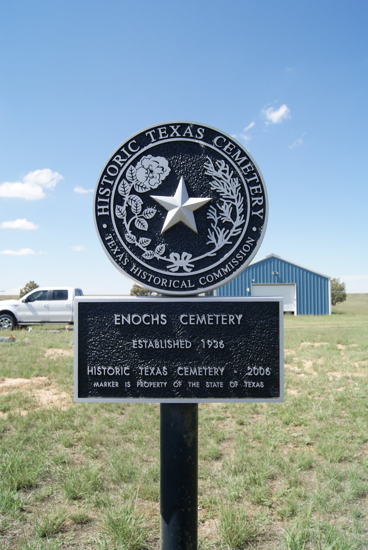
Enochs CemeteryMarker Text: Established 1936 (2006)
Marker No: 13836
|
|