Fort Brown, Texas
|
C
A M E R O N C O U N T Y |
|
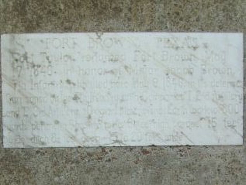
Marker Text: Fort Taylor, renamed Fort Brown, May 17, 1846, in honor of Major Jacob Brown, 7th Infantry, who died here May 9, 1846, in its defense; Garrisoned by the 7th Infantry with Companies "I" 2nd Art. and "E" 3rd Artillery. Original dimensions: Earthwork of 800 yards perimeter, 6 bastion walls 9 1/2 ft. high, parapet 15 ft. wide, ditch 8 1/2 feet deep, 15 to 20 feet wide. (1964)
Marker No: 1971
State Approved Marker- Marble Tablet
National Register of Historic Places
Geographic: 25.890368, -97.492302
Location: Fort Brown - Southmost College Golf Course - east end of Elizabeth, Brownsville.