• Alfred M. Hallmark
  • First Baptist Church of Zephyr
  • Military Road
  • Belle Plaine Cemetery
  • Community of Fodice
  • Providence Church and Cemetery
  • Packsaddle Mountain
  • No. 59 Old San Antonio Road
  • Anderson County in the Civil War
  • Phair Cemetery
  • New Page
  • New Page
  • New Page
TEXAS HISTORICAL MARKERS

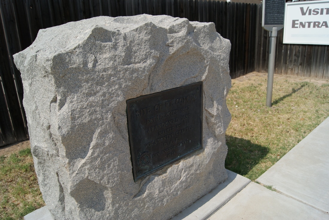
​Fort Concho 

T
O
M

G
R
E
E
N

C
O
U
N
T
​Y
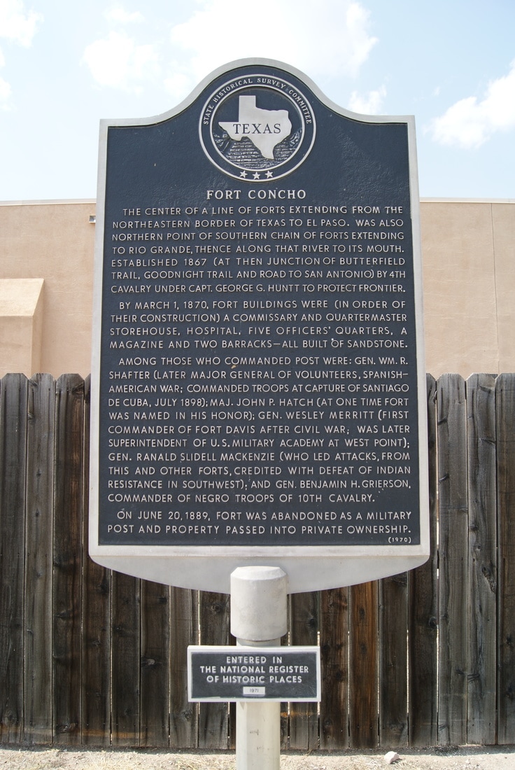
Marker Text: ​The center of a line of forts extending from the northeastern border of Texas to El Paso. Was also northern point of southern chain of forts extending to Rio Grande, thence along that river to its mouth. Established 1867 (at then junction of Butterfield Trail, Goodnight Trail and road to San Antonio) by 4th Cavalry under Capt. George G. Huntt to protect frontier.
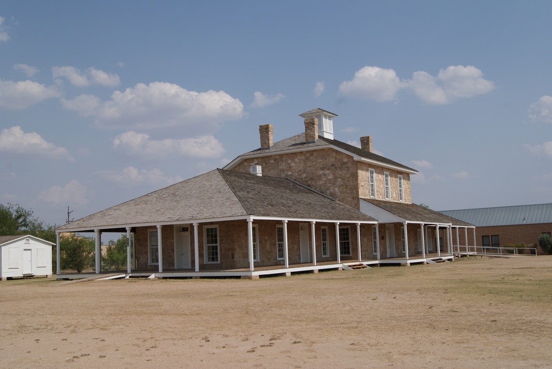
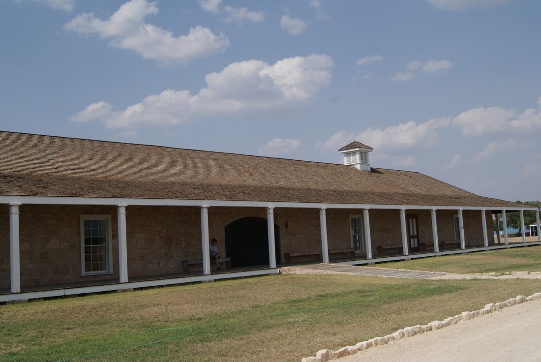
      By March 1, 1870, fort buildings were (in order of their construction) a commissary and quartermaster storehouse, hospital, five officers quarters, a magazine and two barracks-- all built of sandstone. 
     Among those who commanded post were: Gen. Wm. R. Shafter (later major general of volunteers, Spanish-American War; commanded troops at capture of Santiago de Cuba, July 1898); Maj. John P. Hatch (at one time fort was named in his honor); Gen. Wesley Merritt (first commander of Fort Davis after Civil War; was later superintendent of U. S. Military Academy at West Point); Gen. Ranald Slidell Mackenzie (who led attacks, from this and other forts, credited with defeat of Indian resistance in southwest); and Gen. Benjamin H. Grierson, commander of troopsNegro of 10th Cavalry. 
     On June 20, 1889, fort was abandoned as a military post and property passed into private ownership. (1970)
Picture
Marker No: 1977
Aluminum 27 x 42 Subject Marker
​State Antiquities Landmark
National Register of Historic Places
Location: 716 Burgess Street, San Angelo 
Geographic: 31.454557,-100.431313
Picture
Picture
Picture
Proudly powered by Weebly
  • Alfred M. Hallmark
  • First Baptist Church of Zephyr
  • Military Road
  • Belle Plaine Cemetery
  • Community of Fodice
  • Providence Church and Cemetery
  • Packsaddle Mountain
  • No. 59 Old San Antonio Road
  • Anderson County in the Civil War
  • Phair Cemetery
  • New Page
  • New Page
  • New Page