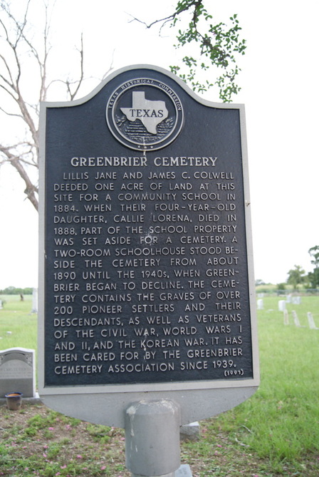
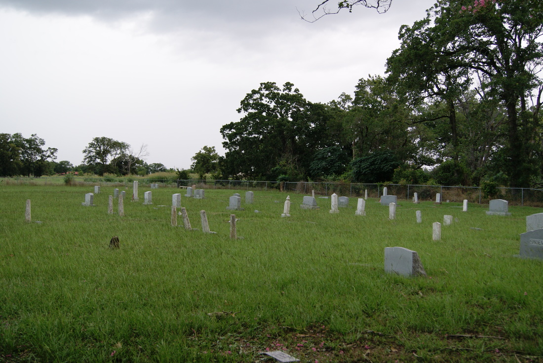
Greenbrier Cemetery
Marker No. 11256
|
Marker Text: Lillis Jane and James C. Colwell deeded one acre of land at this site for a community school in 1884. When their four-year-old daughter, Callie Lorena, died in 1888, part of the school property was set aside for a cemetery. A two-room schoolhouse stood beside the cemetery from about 1890 until the 1940s, when Greenbrier began to decline. The cemetery contains the graves of over 200 pioneer settlers and their descendants, as well as veterans of the Civil War, World Wars I and II, and the Korean War. It has been cared for by the Greenbrier Cemetery Association since 1939. (1991)
|
Aluminium 18 x 28 Subject Marker
Geographic: 30.999947, -95.925400
Location: From Madisonville, take SH 75 about 4 miles north to CR 306, go west about 3/4 miles to Greenbriar Road, go south about 1/2 mile to cemetery